File:Niger Regions.png
Jump to navigation
Jump to search
No higher resolution available.
Niger_Regions.png (535 × 425 pixels, file size: 11 KB, MIME type: image/png)
File history
Click on a date/time to view the file as it appeared at that time.
| Date/Time | Thumbnail | Dimensions | User | Comment | |
|---|---|---|---|---|---|
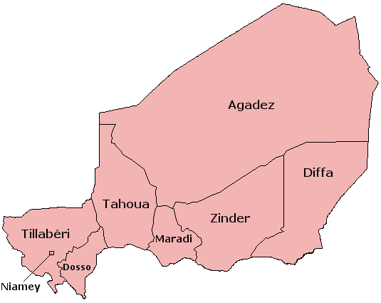
| current | 10:09, 3 November 2010 | | 535 × 425 (11 KB) | commons>UnCursed | {{Information |Description=Map of the Departments of Niger |Source=created with the GIMP |Date= |Author=User:Acntx |Permission= |other_versions= }} Map of the Departments of Niger; created with the GIMP. Made by User:Acntx {{GFDL-with-disclaimer |
File usage
There are no pages that use this file.