File:Nfldmap.gif
Jump to navigation
Jump to search
No higher resolution available.
Nfldmap.gif (498 × 549 pixels, file size: 15 KB, MIME type: image/gif)
File history
Click on a date/time to view the file as it appeared at that time.
| Date/Time | Thumbnail | Dimensions | User | Comment | |
|---|---|---|---|---|---|
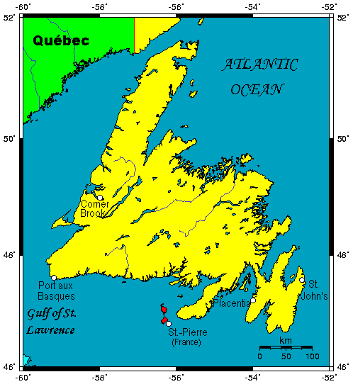
| current | 09:48, 4 December 2009 | | 498 × 549 (15 KB) | commons>Telim tor | == {{int:filedesc}} == {{Information |Description={{en|A map showing the Island of Newfoundland in the Canadian province of Newfoundland and Labrador.}} |Source=This map's source is [http://www.aquarius.geomar.de/omc/make_map.html here], with the uploader |
File usage
There are no pages that use this file.