File:New York Harbor Nautical Chart.jpg
Jump to navigation
Jump to search

Size of this preview: 800 × 525 pixels. Other resolutions: 320 × 210 pixels | 640 × 420 pixels | 906 × 595 pixels.
Original file (906 × 595 pixels, file size: 172 KB, MIME type: image/jpeg)
File history
Click on a date/time to view the file as it appeared at that time.
| Date/Time | Thumbnail | Dimensions | User | Comment | |
|---|---|---|---|---|---|
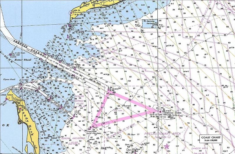
| current | 10:12, 14 July 2007 | | 906 × 595 (172 KB) | commons>Massimiliano Lincetto | {{Information |Description=Nautical chart including en:LORAN TD lines for ocean approaches to New York Harbor. The chart shows TD lines, apparently for LORAN-A, which would make it the NANTUCKET-CHATHAM-MONTUCK-SANDY HOOK-FENWICK-BODIE IS-CAPE HATTE |
File usage
There are no pages that use this file.