File:New Tavern Fort OS Nat Grid map 1963.jpg
Jump to navigation
Jump to search
No higher resolution available.
New_Tavern_Fort_OS_Nat_Grid_map_1963.jpg (490 × 588 pixels, file size: 137 KB, MIME type: image/jpeg)
File history
Click on a date/time to view the file as it appeared at that time.
| Date/Time | Thumbnail | Dimensions | User | Comment | |
|---|---|---|---|---|---|
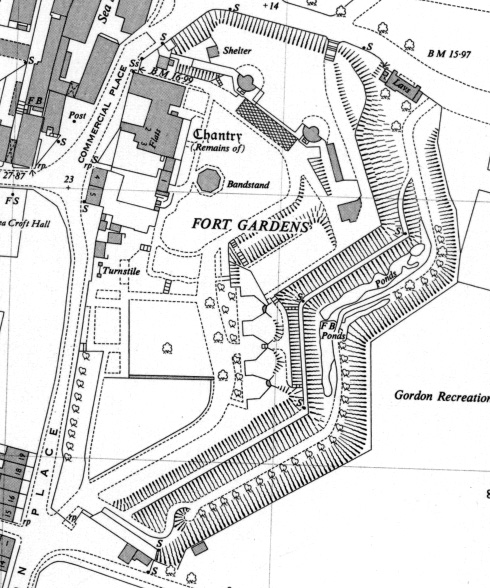
| current | 20:11, 26 June 2015 | | 490 × 588 (137 KB) | commons>Prioryman | =={{int:filedesc}}== {{Information |description={{en|1=New Tavern Fort - extract from Ordnance Survey National Grid map TQ7076-TQ7176}} |date=1963 |source=http://maps.nls.uk/geo/explore/#zoom=18&lat=51.4435&lon=0.3769&layers=173 |author=Ordnance Survey... |
File usage
There are no pages that use this file.