File:New Orleans Wards 1-11 Augustus Mitchell map.jpg
Jump to navigation
Jump to search

Size of this preview: 715 × 600 pixels. Other resolutions: 286 × 240 pixels | 572 × 480 pixels | 920 × 772 pixels.
Original file (920 × 772 pixels, file size: 492 KB, MIME type: image/jpeg)
File history
Click on a date/time to view the file as it appeared at that time.
| Date/Time | Thumbnail | Dimensions | User | Comment | |
|---|---|---|---|---|---|
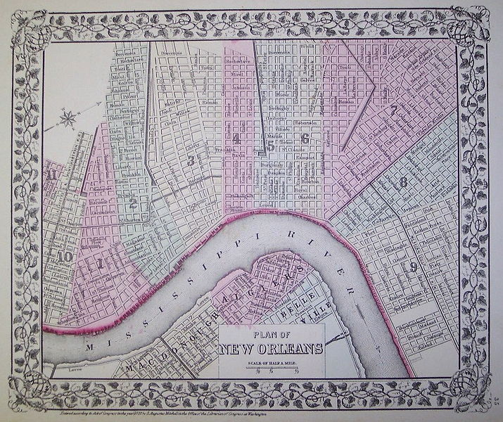
| current | 20:01, 8 May 2006 | | 920 × 772 (492 KB) | commons>Infrogmation | Map of New Orleans, showing Wards, early 1870s. Published by S. Augustus Mitchell, Philadelphia, c. 1872. From http://www.murrayhudson.com/antique_maps/us_state_maps/NewOrelansMaps.htm Mechanical reproduction of material printed in the United State |
File usage
There are no pages that use this file.