File:New Hampshire map.png
Jump to navigation
Jump to search
Size of this preview: 322 × 598 pixels. Other resolutions: 129 × 240 pixels | 430 × 799 pixels.
Original file (430 × 799 pixels, file size: 675 KB, MIME type: image/png)
File history
Click on a date/time to view the file as it appeared at that time.
| Date/Time | Thumbnail | Dimensions | User | Comment | |
|---|---|---|---|---|---|
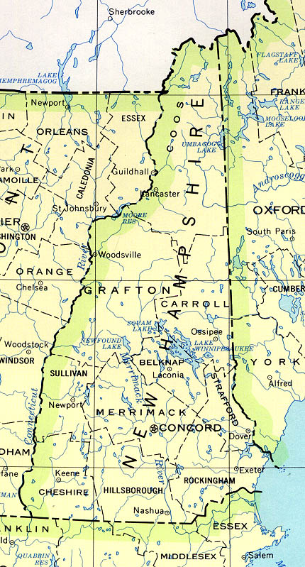
| current | 03:52, 18 June 2011 | | 430 × 799 (675 KB) | commons>File Upload Bot (Magnus Manske) | {{BotMoveToCommons|en.wikipedia|year={{subst:CURRENTYEAR}}|month={{subst:CURRENTMONTHNAME}}|day={{subst:CURRENTDAY}}}} {{Information |Description={{en|County boundaries and names, county seats, rivers. Original scale 1:2,500,000 U.S. Geological Survey, |
File usage
There are no pages that use this file.