File:Netherlands, Zijl (4).jpg
Jump to navigation
Jump to search

Size of this preview: 458 × 600 pixels. Other resolutions: 183 × 240 pixels | 366 × 480 pixels | 586 × 768 pixels | 1,176 × 1,540 pixels.
Original file (1,176 × 1,540 pixels, file size: 1,014 KB, MIME type: image/jpeg)
.jpg)
File history
Click on a date/time to view the file as it appeared at that time.
| Date/Time | Thumbnail | Dimensions | User | Comment | |
|---|---|---|---|---|---|
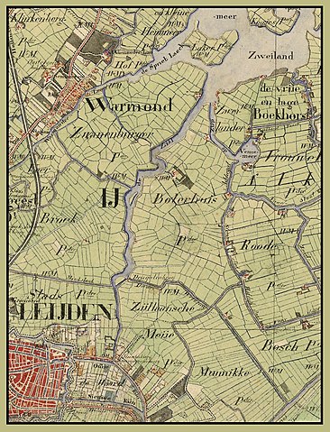
| current | 20:09, 13 October 2011 | | 1,176 × 1,540 (1,014 KB) | commons>Loranchet | {{Information |Description ={{nl|1=Dit deel van een kaart van Zuid-Holland uit 1850-1851 toont de rivier de Zijl bij Leiden, beginnend in het zuiden bij de Spanjaardsbrug en eindigend bij de monding in de Kager plas Zweiland. Van zuid naar noord liggen |
File usage
There are no pages that use this file.
.jpg)