File:Netherlands, Province of Drenthe, map of 1866.PNG
Jump to navigation
Jump to search
Size of this preview: 483 × 600 pixels. Other resolutions: 193 × 240 pixels | 387 × 480 pixels | 619 × 768 pixels | 1,198 × 1,487 pixels.
Original file (1,198 × 1,487 pixels, file size: 1.51 MB, MIME type: image/png)
File history
Click on a date/time to view the file as it appeared at that time.
| Date/Time | Thumbnail | Dimensions | User | Comment | |
|---|---|---|---|---|---|
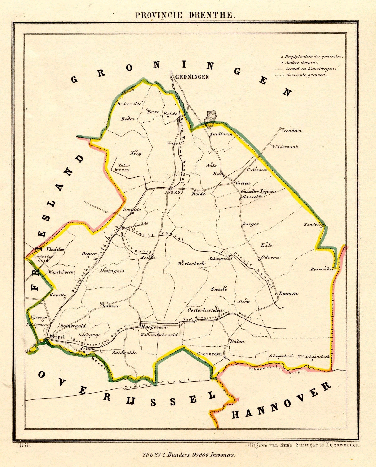
| current | 14:03, 17 November 2011 | | 1,198 × 1,487 (1.51 MB) | commons>Loranchet | {{Information |Description ={{nl|1=Een kaart van Drenthe uit 1866, uit de Gemeente Atlas van Jacob Kuyper.}} {{en|1=A map of the Dutch province of Drenthe, from 1866.}} |Source =http://www.atlas1868.nl/dr/provdrenthe.html |Author =J. Ku |
File usage
There are no pages that use this file.