File:National Gallery of Art map.jpg
Jump to navigation
Jump to search
Size of this preview: 800 × 212 pixels. Other resolutions: 320 × 85 pixels | 1,730 × 458 pixels.
Original file (1,730 × 458 pixels, file size: 632 KB, MIME type: image/jpeg)
File history
Click on a date/time to view the file as it appeared at that time.
| Date/Time | Thumbnail | Dimensions | User | Comment | |
|---|---|---|---|---|---|
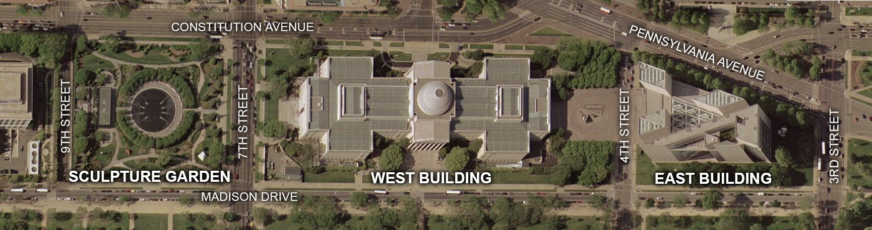
| current | 22:19, 2 September 2007 | 1,730 × 458 (632 KB) | commons>Postdlf | == Summary == {{Information |Description=Map of National Gallery of Art grounds, Washington, D.C. |Source=USGS satellite image |Date=Satellite image taken April 22, 2002 |Author= USGS, |
File usage
There are no pages that use this file.