File:National Express East Anglia route map 2010.svg
Jump to navigation
Jump to search

Size of this PNG preview of this SVG file: 530 × 600 pixels. Other resolutions: 212 × 240 pixels | 424 × 480 pixels | 678 × 768 pixels | 905 × 1,024 pixels | 1,809 × 2,048 pixels | 1,000 × 1,132 pixels.
Original file (SVG file, nominally 1,000 × 1,132 pixels, file size: 493 KB)
File history
Click on a date/time to view the file as it appeared at that time.
| Date/Time | Thumbnail | Dimensions | User | Comment | |
|---|---|---|---|---|---|
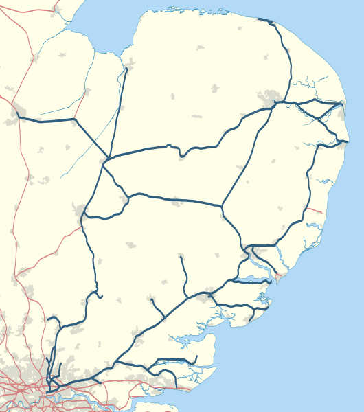
| current | 22:22, 30 January 2011 | | 1,000 × 1,132 (493 KB) | commons>Nilfanion | {{Information |Description=Map showing railway routes operated by National Express East Anglia in 2010. The background map shows the coast of England and major urban areas. Equirectangular map projection on WGS 84 datum, |
File usage
There are no pages that use this file.