File:NZ Marlborough Sounds relief location map.svg
Jump to navigation
Jump to search

Size of this PNG preview of this SVG file: 452 × 599 pixels. Other resolutions: 181 × 240 pixels | 362 × 480 pixels | 579 × 768 pixels | 773 × 1,024 pixels | 1,546 × 2,048 pixels | 2,600 × 3,445 pixels.
Original file (SVG file, nominally 2,600 × 3,445 pixels, file size: 3.87 MB)
File history
Click on a date/time to view the file as it appeared at that time.
| Date/Time | Thumbnail | Dimensions | User | Comment | |
|---|---|---|---|---|---|
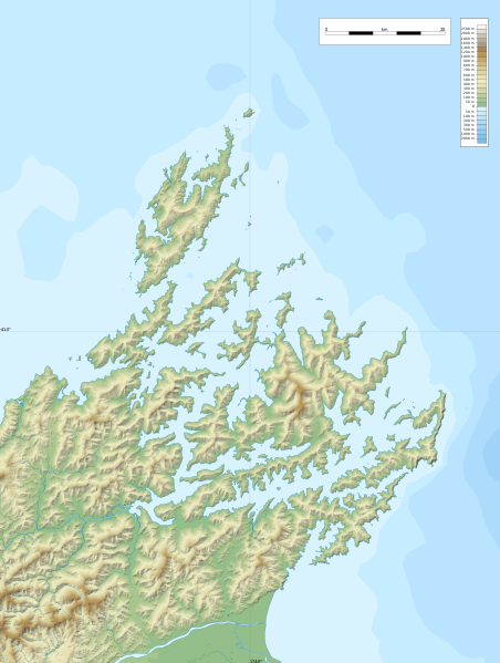
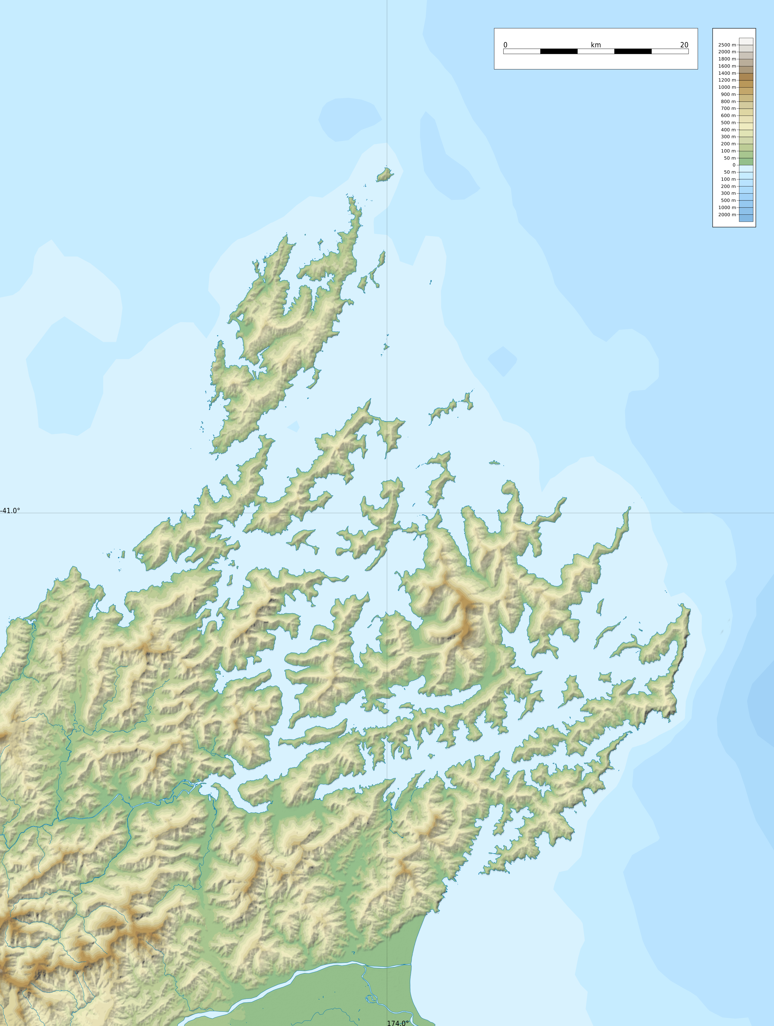
| current | 22:55, 8 February 2022 | | 2,600 × 3,445 (3.87 MB) | commons>Ikonact | == {{int:filedesc}} == {{Information |description={{en|1=Relief location map of {{W|Marlborough Sounds}}, {{W|New Zealand}} Geographic limits of the map: * N: 40.5° S * S: 41.5° S * W: 173.5° E * E: 174.0° E}} |date=2022-02-08 |source={{own}} *Relief and bathymetry: Public domain SRTM3 and ETOPO1 *Coast: [https://data.linz.govt.nz/layer/105085-nz-coastline-mean-high-water/ Land Information New Zealand] © Creative Commons Attribution 4.0 International *Water bodies and rivers: © OpenStreetMap... |
File usage
There are no pages that use this file.