File:NTS test preparation4.jpg

From WikiProjectMed
Jump to navigation Jump to search

Original file(1,467 × 1,170 pixels, file size: 261 KB, MIME type: image/jpeg)

This file is from a shared repository and may be used by other projects. The description on its file description page there is shown below.

Summary

Description
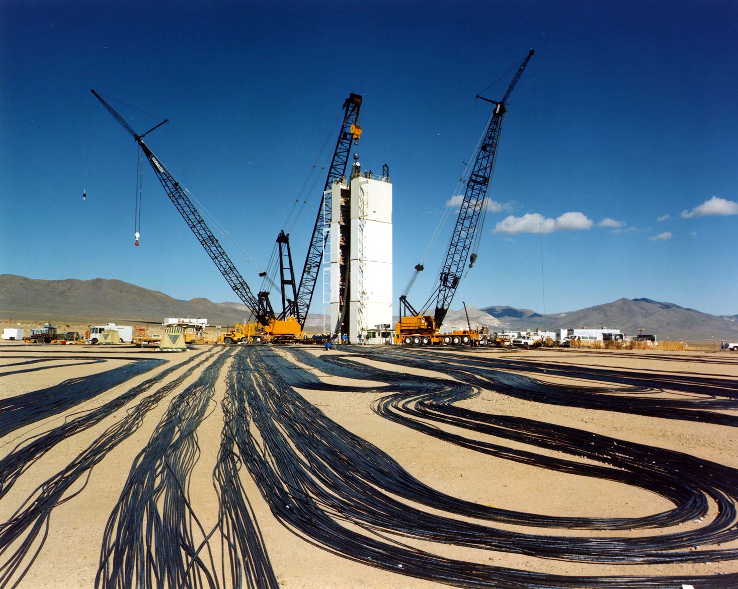
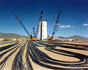
Español: Preparativos para una prueba nuclear subterránea en el NTS (Nevada).
English: Preparing for an underground test at the Nevada Test Site.

Temporary modular tower designed to hold the diagnostic rack for Icecap.

Original caption: Signal cables are laid out at a test location on Yucca Flat, the principal underground nuclear weapons testing area at NTS. Cranes will lower the cable down-hole with the weapons canister. The cables will relay scientific data to recording trailersat the surface. The tower was used to mount scientific instruments in the instrumentation canister suspended from the crane on the left. The tower will be removed in sections before the detonation. The drilled emplacement hole is beneath the tower.
Source
This image is available from the National Nuclear Security Administration Nevada Site Office Photo Library under number NF-2192.

This tag does not indicate the copyright status of the attached work. A normal copyright tag is still required.

Author Federal Government of the United States
Permission
(Reusing this file)
Public domain
This work is in the public domain in the United States because it is a work prepared by an officer or employee of the United States Government as part of that person’s official duties under the terms of Title 17, Chapter 1, Section 105 of the US Code. Note: This only applies to original works of the Federal Government and not to the work of any individual U.S. state, territory, commonwealth, county, municipality, or any other subdivision. This template also does not apply to postage stamp designs published by the United States Postal Service since 1978. (See § 313.6(C)(1) of Compendium of U.S. Copyright Office Practices). It also does not apply to certain US coins; see The US Mint Terms of Use.
Object location37° 04′ 50.92″ N, 116° 02′ 44.26″ W Kartographer map based on OpenStreetMap.View this and other nearby images on: OpenStreetMapinfo

Captions

Add a one-line explanation of what this file represents

Items portrayed in this file

depicts

37°4'50.920"N, 116°2'44.261"W

File history

Click on a date/time to view the file as it appeared at that time.

Date/TimeThumbnailDimensionsUserComment
current01:38, 4 January 2006Thumbnail for version as of 01:38, 4 January 20061,467 × 1,170 (261 KB)commons>Fastfission~commonswiki:''Signal cables are laid out at a test location on Yucca Flat, the principal underground nuclear weapons testing area at NTS. Cranes will lower the cable down-hole with the weapons canister. The cables will relay scientific data to recording trailersat t

There are no pages that use this file.