File:NO 1443 Eid.svg
Jump to navigation
Jump to search

Size of this PNG preview of this SVG file: 712 × 600 pixels. Other resolutions: 285 × 240 pixels | 570 × 480 pixels | 912 × 768 pixels | 1,216 × 1,024 pixels | 2,431 × 2,048 pixels | 920 × 775 pixels.
Original file (SVG file, nominally 920 × 775 pixels, file size: 271 KB)
| Description |
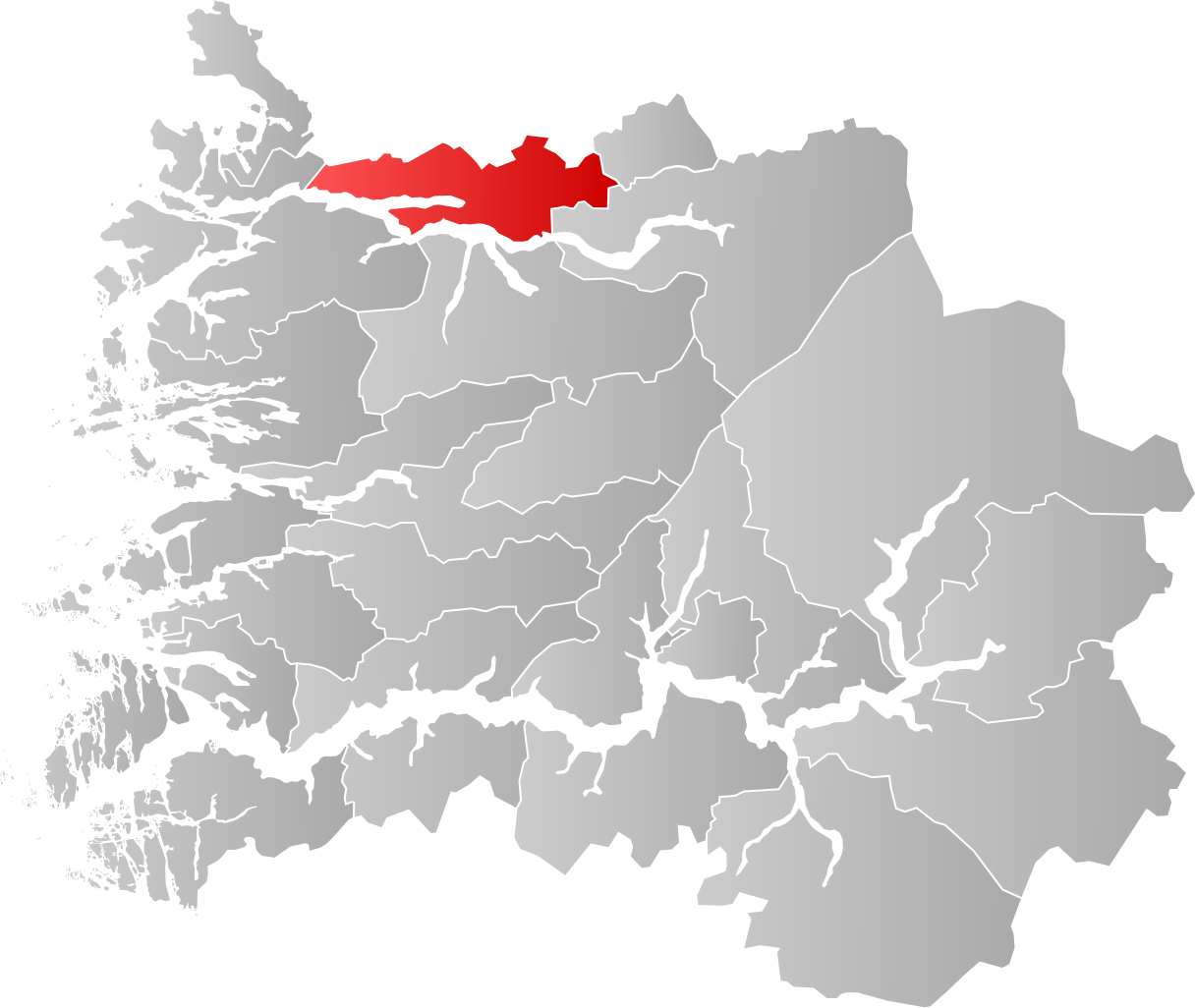
Norsk bokmål: Kart som viser Eid, Norways plassering innen Sogn og Fjordane, laga av Jon Harald Søby.
Svenska: Karta som visar Eid, Norway kommuns läge i Sogn og Fjordane fylke, skapad av Jon Harald Søby. |
||
| Date | |||
| Source | Own work | ||
| Author | Jon Harald Søby | ||
| Permission (Reusing this file) |
|
||
| SVG development |
File history
Click on a date/time to view the file as it appeared at that time.
| Date/Time | Thumbnail | Dimensions | User | Comment | |
|---|---|---|---|---|---|
| current | 03:51, 17 December 2019 | | 920 × 775 (271 KB) | commons>Jay1279 | improve accuracy |
File usage
There are no pages that use this file.