File:NJ 162 old bridge.jpg
Jump to navigation
Jump to search
Size of this preview: 601 × 599 pixels. Other resolutions: 241 × 240 pixels | 482 × 480 pixels | 933 × 930 pixels.
Original file (933 × 930 pixels, file size: 176 KB, MIME type: image/jpeg)
File history
Click on a date/time to view the file as it appeared at that time.
| Date/Time | Thumbnail | Dimensions | User | Comment | |
|---|---|---|---|---|---|
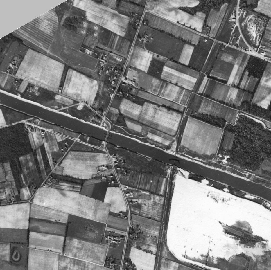
| current | 02:30, 5 December 2005 | | 933 × 930 (176 KB) | commons>SPUI~commonswiki | {{PD-USGov}} 1944 aerial photo of the area of the Cape May Canal where Route 162 now crosses. ==Source== (copied from [http://chl.wes.army.mil/shore/newjersey/shore1944/]) New Jersey Shore - 1944 Location: Atlantic shore of New Jersey from Cape May to |
File usage
There are no pages that use this file.