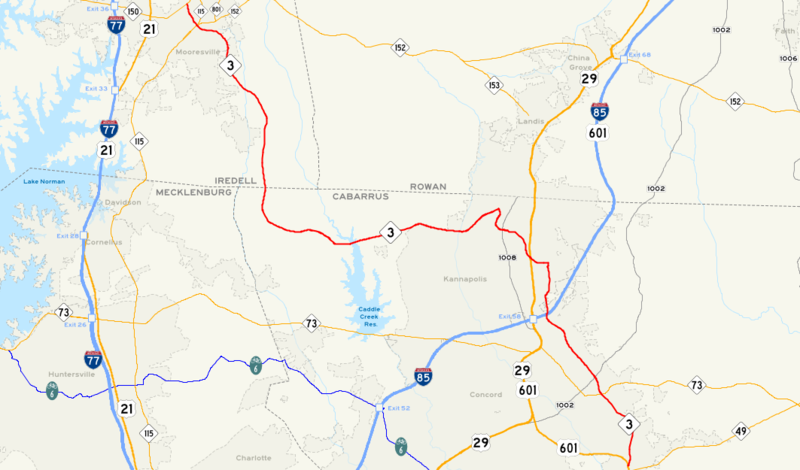
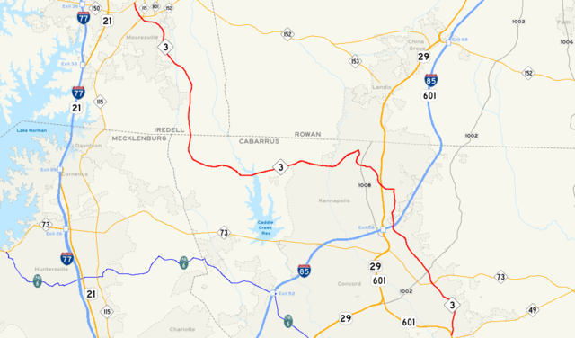
File:NC 3 Map.png
Jump to navigation
Jump to search

Size of this preview: 800 × 470 pixels. Other resolutions: 320 × 188 pixels | 640 × 376 pixels | 1,063 × 625 pixels.
Original file (1,063 × 625 pixels, file size: 249 KB, MIME type: image/png)
File history
Click on a date/time to view the file as it appeared at that time.
| Date/Time | Thumbnail | Dimensions | User | Comment | |
|---|---|---|---|---|---|
| current | 04:33, 8 December 2007 | | 1,063 × 625 (249 KB) | commons>Exw81 | {{Information |Description=Map of NC State Highway 3 |Source=Self-made based on public domain data provided by the State of North Carolina Department of Transportation Information Technology Unit (http://www.ncdot.org/it/) and the North Carolina Geographi |
File usage
There are no pages that use this file.