File:Municipios y zonas de Tenerife.svg
Jump to navigation
Jump to search

Size of this PNG preview of this SVG file: 800 × 600 pixels. Other resolutions: 320 × 240 pixels | 640 × 480 pixels | 1,024 × 768 pixels | 1,280 × 960 pixels | 2,560 × 1,920 pixels.
Original file (SVG file, nominally 1,024 × 768 pixels, file size: 74 KB)
File history
Click on a date/time to view the file as it appeared at that time.
| Date/Time | Thumbnail | Dimensions | User | Comment | |
|---|---|---|---|---|---|
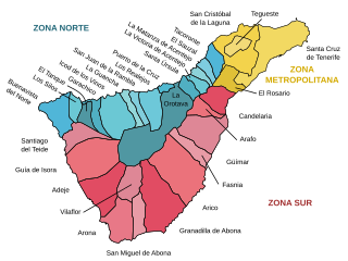
| current | 18:32, 15 September 2007 | | 1,024 × 768 (74 KB) | commons>HansenBCN | == Summary == {{Information |Description= {{ca|Mapa amb els topònims i zones de l'illa de Tenerife (Illes Canàries)}} {{es|Mapa con los topónimos marcados de los municipios y zonas de la isla de Tenerife (Islas Canarias)}} {{en|Labeled map with municip |
File usage
There are no pages that use this file.