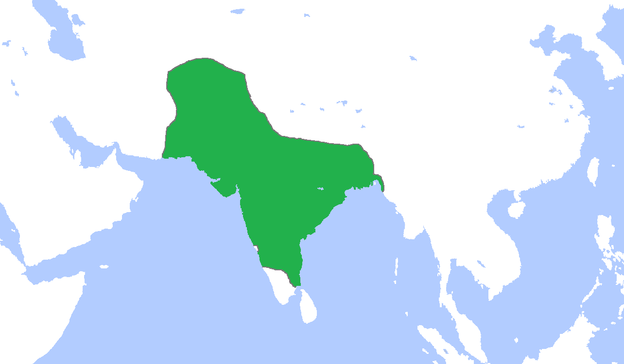
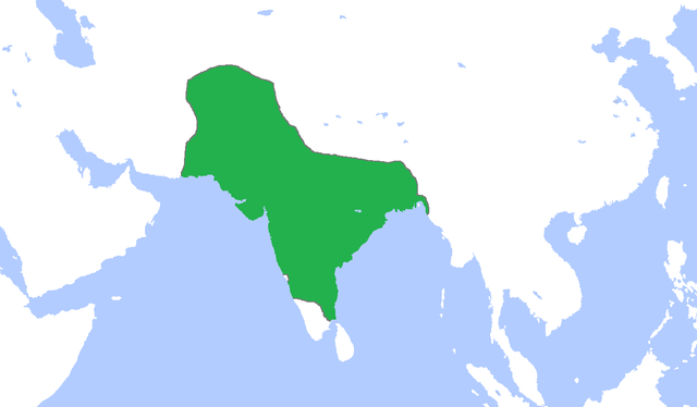
File:Mughal1700.png
Jump to navigation
Jump to search
Size of this preview: 800 × 467 pixels. Other resolutions: 320 × 187 pixels | 640 × 374 pixels | 1,284 × 750 pixels.
Original file (1,284 × 750 pixels, file size: 36 KB, MIME type: image/png)
File history
Click on a date/time to view the file as it appeared at that time.
| Date/Time | Thumbnail | Dimensions | User | Comment | |
|---|---|---|---|---|---|
| current | 16:44, 5 November 2009 | | 1,284 × 750 (36 KB) | commons>Gabagool | {{Information |Description={{en|1=Locator map of the Mughal Empire, c. 1700. (Partially based on ''Atlas of World History'' (2007) - The World 1600-1700, map)}} |Source={{own}} |Author=Gabagool / Jarle Grøhn |Date=2009-11-05 |Permissio |
File usage
There are no pages that use this file.