File:Mt Harun from Taybe.JPG
Jump to navigation
Jump to search
Size of this preview: 800 × 446 pixels. Other resolutions: 320 × 178 pixels | 640 × 356 pixels | 1,024 × 570 pixels | 1,600 × 891 pixels.
Original file (1,600 × 891 pixels, file size: 301 KB, MIME type: image/jpeg)
File history
Click on a date/time to view the file as it appeared at that time.
| Date/Time | Thumbnail | Dimensions | User | Comment | |
|---|---|---|---|---|---|
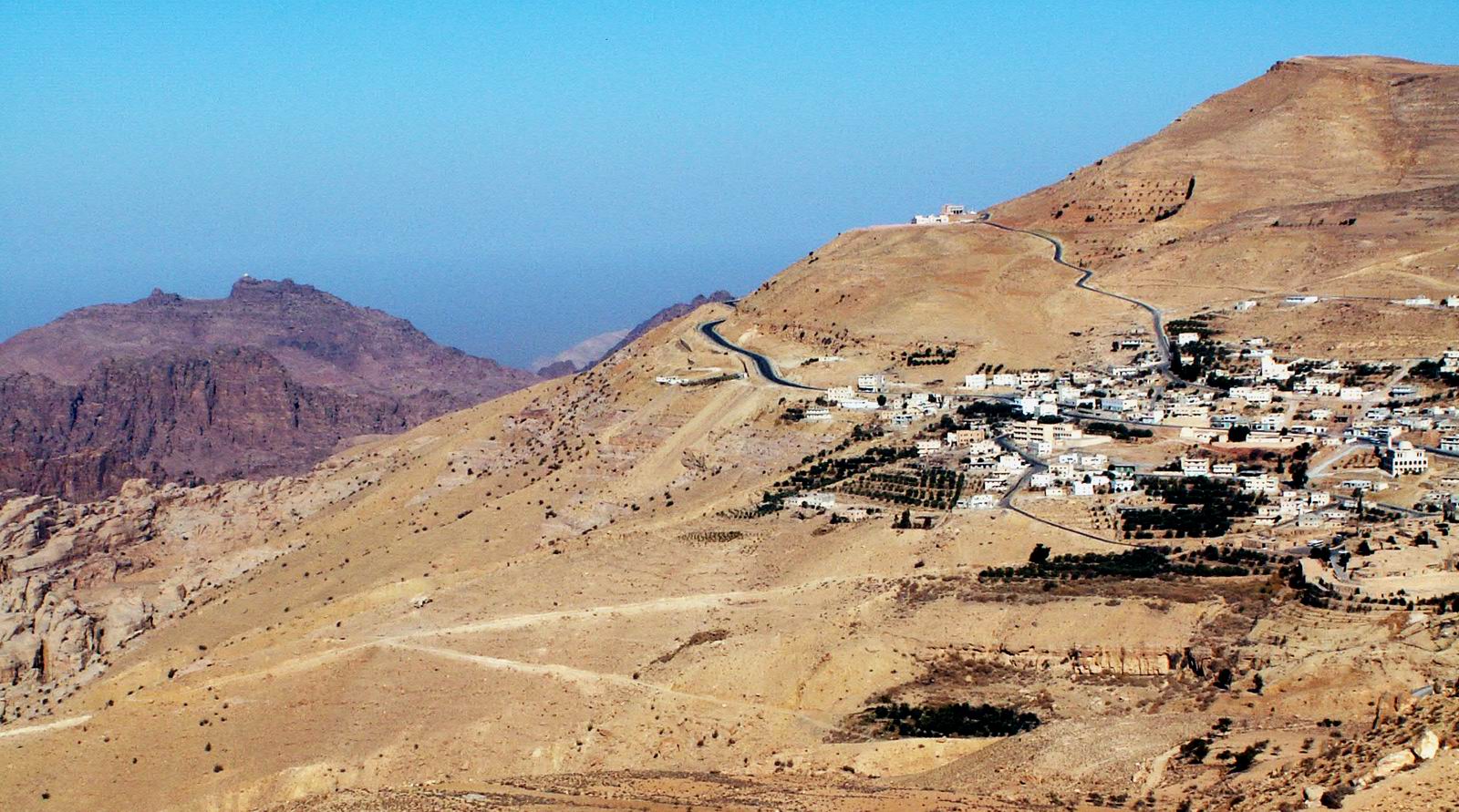
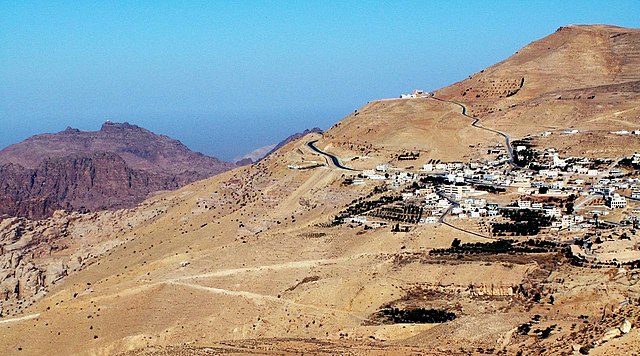
| current | 23:18, 14 January 2006 | | 1,600 × 891 (301 KB) | commons>Uri~commonswiki | Jebel Harun (mt. of Aaron) at the left as seen from the Vilage of Taybe, south of Petra. Mt. Harun is located in the Horeb mountains, The red rocks area of Petra. high above the Horeb mountains is Mt. Seir or jebel A-Shara where we can see the village of |
File usage
There are no pages that use this file.