File:Mount Pleasant woodlands on Coles Point Road.jpg
Jump to navigation
Jump to search

Size of this preview: 800 × 532 pixels. Other resolutions: 320 × 213 pixels | 640 × 426 pixels | 1,024 × 681 pixels | 1,280 × 851 pixels | 2,560 × 1,702 pixels | 6,016 × 4,000 pixels.
Original file (6,016 × 4,000 pixels, file size: 6.39 MB, MIME type: image/jpeg)
|
This is an image of a place or building that is listed on the National Register of Historic Places in the United States of America. Its reference number is 79003094. |
| Camera location | | View this and other nearby images on: OpenStreetMap |
|---|
| Description |
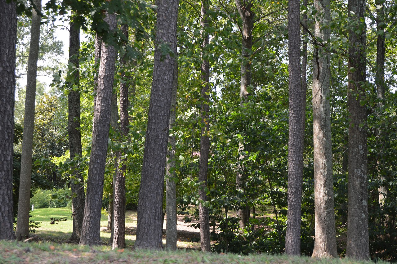
English: Woodland at the Mount Pleasant estate, seen looking west from Coles Point Road just northeast of Hague in Westmoreland County, Virginia, United States. Tree cover makes the house virtually invisible from the road. The estate is listed on the National Register of Historic Places. |
||
| Date | Taken on 26 August 2017 | ||
| Source | Own work | ||
| Author | Nyttend | ||
| Permission (Reusing this file) |
|
File history
Click on a date/time to view the file as it appeared at that time.
| Date/Time | Thumbnail | Dimensions | User | Comment | |
|---|---|---|---|---|---|
| current | 00:52, 11 September 2017 | | 6,016 × 4,000 (6.39 MB) | commons>Nyttend | {{NRHP|79003094}} {{Location|38|4|30|N|76|38|37|W}} {{Information |Description={{en|Woodland at the {{w|Mount Pleasant (Hague, Virginia)|Mount Pleasant}} estate, seen looking west from Coles Point Road just northeast of {{w|Hague, Virginia|Hague}} in {... |
File usage
There are no pages that use this file.