File:Morning view over Kapiti Coast.jpg
Jump to navigation
Jump to search

Size of this preview: 800 × 471 pixels. Other resolutions: 320 × 188 pixels | 640 × 376 pixels | 1,024 × 602 pixels | 1,280 × 753 pixels | 2,560 × 1,506 pixels | 4,896 × 2,880 pixels.
Original file (4,896 × 2,880 pixels, file size: 4.12 MB, MIME type: image/jpeg)
Summary
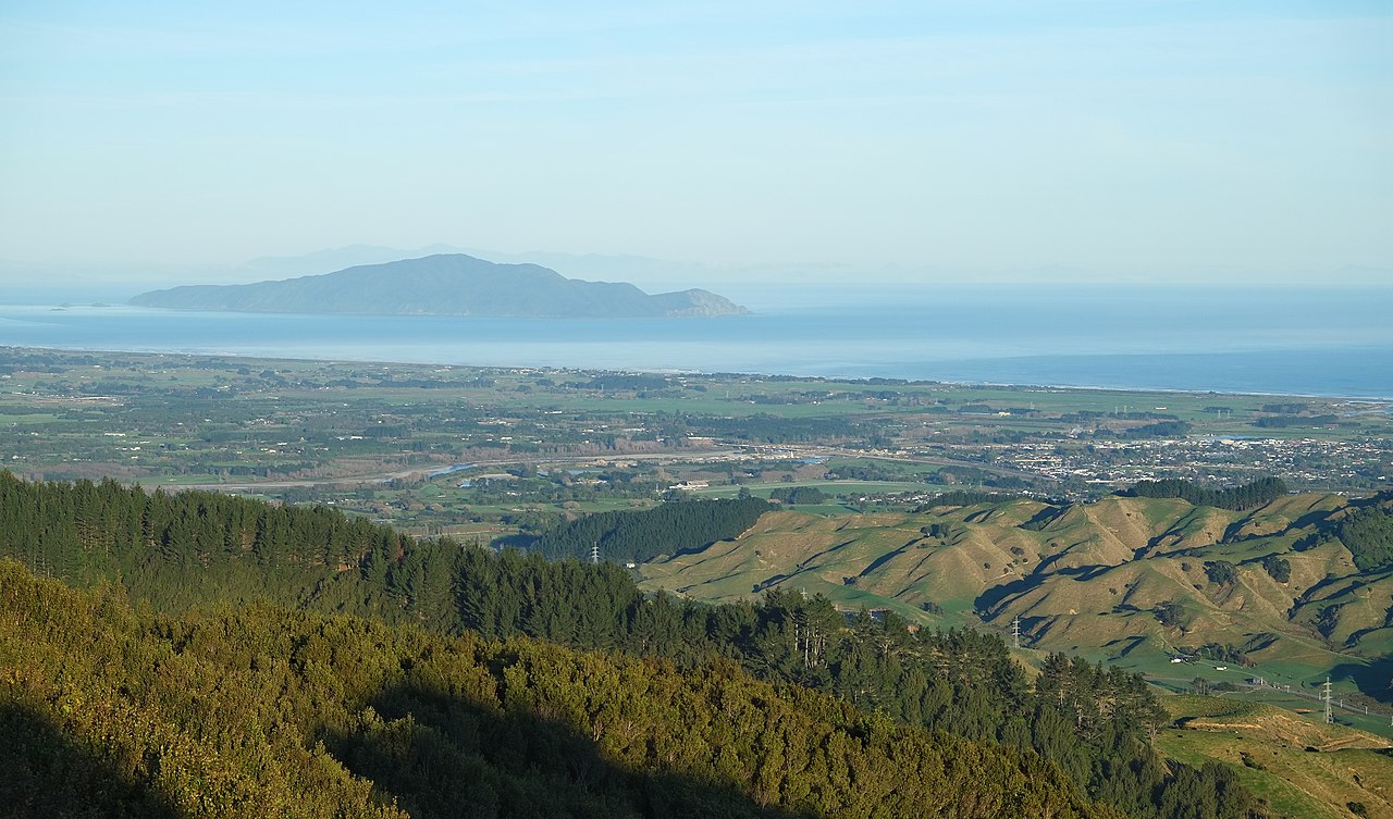
| Description | Kapiti Island and Kapiti Coast from hill in Tararua Forest Park east of Ōtaki in the morning; Ōtaki River visible in the center, Ōtaki on the right |
| Date | |
| Source | Own work |
| Author | Pseudopanax at English Wikipedia |
| Camera location | | View this and other nearby images on: OpenStreetMap |
|---|
Licensing
| I, the copyright holder of this work, release this work into the public domain. This applies worldwide. In some countries this may not be legally possible; if so: I grant anyone the right to use this work for any purpose, without any conditions, unless such conditions are required by law. |
| Annotations | This image is annotated: View the annotations at Commons |
File history
Click on a date/time to view the file as it appeared at that time.
| Date/Time | Thumbnail | Dimensions | User | Comment | |
|---|---|---|---|---|---|
| current | 02:25, 17 September 2021 | | 4,896 × 2,880 (4.12 MB) | commons>Pseudopanax | == {{int:filedesc}} == {{Information |Description=Kapiti Island and Kapiti Coast from hill in Tararua Forest Park east of Ōtaki in the morning; Ōtaki River visible in the center, Ōtaki on the right |Source={{Own}} |Date=2021-07-31 |Author={{user at project|Pseudopanax|wikipedia|en}} }} {{location|40|44|55.8|S|175|15|0.6|E}} == {{int:license-header}} == {{PD-self}} Category:Kapiti Island Category:Kapiti Coast... |
File usage
There are no pages that use this file.