File:MorleyRothwellConstituency.svg
Jump to navigation
Jump to search

Size of this PNG preview of this SVG file: 300 × 240 pixels. Other resolutions: 600 × 480 pixels | 960 × 768 pixels | 1,280 × 1,024 pixels | 2,560 × 2,048 pixels.
Original file (SVG file, nominally 300 × 240 pixels, file size: 83 KB)
Summary
| Description |
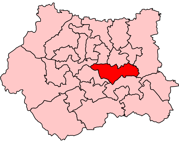
English: Map of the UK Parliament constituency of Morley and Rothwell, in West Yorkshire. |
| Source | Own work |
| Author | user:Wereon |
Licensing
| I, the copyright holder of this work, release this work into the public domain. This applies worldwide. In some countries this may not be legally possible; if so: I grant anyone the right to use this work for any purpose, without any conditions, unless such conditions are required by law. |
File history
Click on a date/time to view the file as it appeared at that time.
| Date/Time | Thumbnail | Dimensions | User | Comment | |
|---|---|---|---|---|---|
| current | 14:33, 10 September 2006 | | 300 × 240 (83 KB) | commons>Wereon | Map of the UK Parliament constituency of Morley and Rothwell, in West Yorkshire. Category:Maps of Parliamentary constituencies in West Yorkshire |
File usage
There are no pages that use this file.