File:Montréal-blank.png
Jump to navigation
Jump to search
Size of this preview: 723 × 599 pixels. Other resolutions: 290 × 240 pixels | 579 × 480 pixels | 841 × 697 pixels.
Original file (841 × 697 pixels, file size: 186 KB, MIME type: image/png)
Summary
| Description |
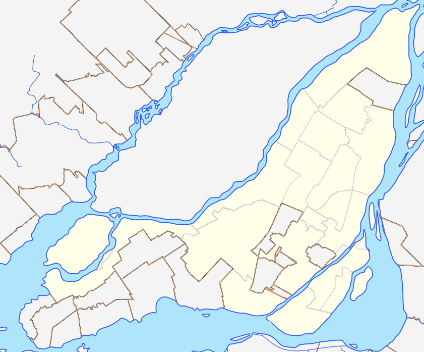
English: Blank map of Montreal and Laval Islands to be used for en:Template:Location map Canada Montreal. Colours are matched to File:Canada Quebec location map 2.svg for consistency. |
| Date | (UTC) |
| Source |
This file was derived from: Région métropolitaine de Montréal-blank.svg: |
| Author |
|
Licensing
I, the copyright holder of this work, hereby publish it under the following license:
This file is licensed under the Creative Commons Attribution-Share Alike 3.0 Unported license.
- You are free:
- to share – to copy, distribute and transmit the work
- to remix – to adapt the work
- Under the following conditions:
- attribution – You must give appropriate credit, provide a link to the license, and indicate if changes were made. You may do so in any reasonable manner, but not in any way that suggests the licensor endorses you or your use.
- share alike – If you remix, transform, or build upon the material, you must distribute your contributions under the same or compatible license as the original.
Original upload log
This image is a derivative work of the following images:
- File:Région_métropolitaine_de_Montréal-blank.svg licensed with Cc-by-sa-3.0
- 2012-07-28T22:03:53Z Flappiefh 1667x1511 (335659 Bytes) La carte précédente était inclinée de 3,8° par rapport au nord. Corrigé.
- 2012-07-27T16:44:18Z Flappiefh 1694x1416 (354061 Bytes) Rotation de 3.8° (le Nord est désormais aligné avec les bords de la carte). Correction des cours d'eau.
- 2012-07-21T08:13:01Z Flappiefh 1714x1526 (338754 Bytes) Ajustement des cours d'eau et des bords du Saint-Laurent.
- 2012-07-21T07:49:12Z Flappiefh 1714x1526 (338185 Bytes)
Uploaded with derivativeFX
File history
Click on a date/time to view the file as it appeared at that time.
| Date/Time | Thumbnail | Dimensions | User | Comment | |
|---|---|---|---|---|---|
| current | 04:34, 16 December 2012 | | 841 × 697 (186 KB) | commons>P199 | thinner borough lines |
File usage
There are no pages that use this file.