File:Monon ShaversFork.png
Jump to navigation
Jump to search
No higher resolution available.
Monon_ShaversFork.png (385 × 463 pixels, file size: 48 KB, MIME type: image/png)
File history
Click on a date/time to view the file as it appeared at that time.
| Date/Time | Thumbnail | Dimensions | User | Comment | |
|---|---|---|---|---|---|
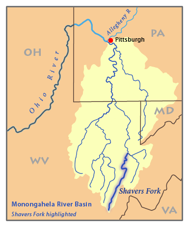
| current | 02:53, 5 February 2007 | | 385 × 463 (48 KB) | commons>Pfly | {{Information |Description=This is a map of the Monongahela River basin, with the Shavers Fork highlighted. I, Pfly, made it, based on USGS data. |Source=Own work. |Date=Februar |
File usage
There are no pages that use this file.