File:Miedzyodrze - satellite view.jpg
Jump to navigation
Jump to search

Size of this preview: 214 × 597 pixels. Other resolution: 287 × 801 pixels.
Original file (287 × 801 pixels, file size: 217 KB, MIME type: image/jpeg)
File history
Click on a date/time to view the file as it appeared at that time.
| Date/Time | Thumbnail | Dimensions | User | Comment | |
|---|---|---|---|---|---|
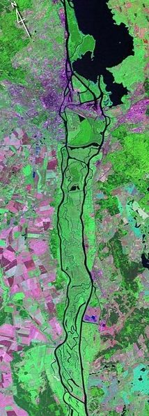
| current | 23:03, 17 March 2009 | 287 × 801 (217 KB) | commons>Karol007 | {{Information |Description={{pl|Fotografia satelitarna obszaru Międzyodrza.}} |Source=NASA, https://zulu.ssc.nasa.gov/mrsid/ (Transferred from [http://pl.wikipedia.org pl.wikipedia]) |Date=2008-09-05 (first version); 2007-04-12 (last |
File usage
There are no pages that use this file.