File:Mickleham 1 aerial.jpg
Jump to navigation
Jump to search

Size of this preview: 800 × 370 pixels. Other resolutions: 320 × 148 pixels | 640 × 296 pixels | 1,024 × 473 pixels | 1,280 × 592 pixels | 2,283 × 1,055 pixels.
Original file (2,283 × 1,055 pixels, file size: 2.06 MB, MIME type: image/jpeg)
File history
Click on a date/time to view the file as it appeared at that time.
| Date/Time | Thumbnail | Dimensions | User | Comment | |
|---|---|---|---|---|---|
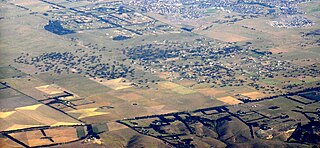
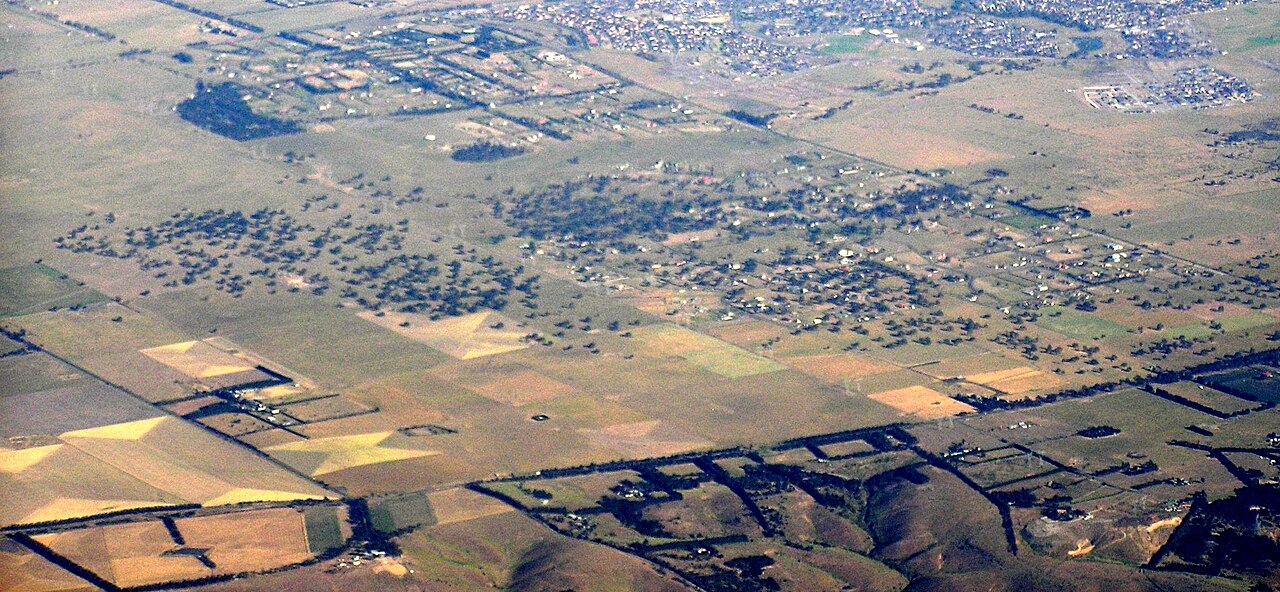
| current | 02:32, 28 November 2009 | | 2,283 × 1,055 (2.06 MB) | commons>Graeme Bartlett | {{Information |Description={{en|1=Aerial photo of Mickleham Victoria from north west. Hume Highway cuts top left, Mickleham Road cuts across the bottom. Mount Ridley Road slices off the top right corner, and Mickleham lies to the left of this and on this |
File usage
There are no pages that use this file.