File:Mezoseg-CampiaTransilvaniei.png
Jump to navigation
Jump to search

Size of this preview: 743 × 600 pixels. Other resolutions: 298 × 240 pixels | 595 × 480 pixels | 952 × 768 pixels | 1,269 × 1,024 pixels | 1,829 × 1,476 pixels.
Original file (1,829 × 1,476 pixels, file size: 195 KB, MIME type: image/png)
File history
Click on a date/time to view the file as it appeared at that time.
| Date/Time | Thumbnail | Dimensions | User | Comment | |
|---|---|---|---|---|---|
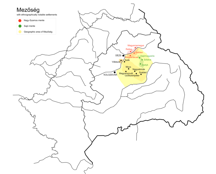
| current | 21:43, 22 May 2013 | | 1,829 × 1,476 (195 KB) | commons>Fz22~commonswiki | Reverted to version as of 23:56, 6 August 2011: this is an ethnographic map, (not geographic) with the most important Hungarian settlements. Eg it is important to show the settlements names in Hungarian (eg Dance of Szek) |
File usage
There are no pages that use this file.