File:Mexico Michoacan location map.svg
Jump to navigation
Jump to search

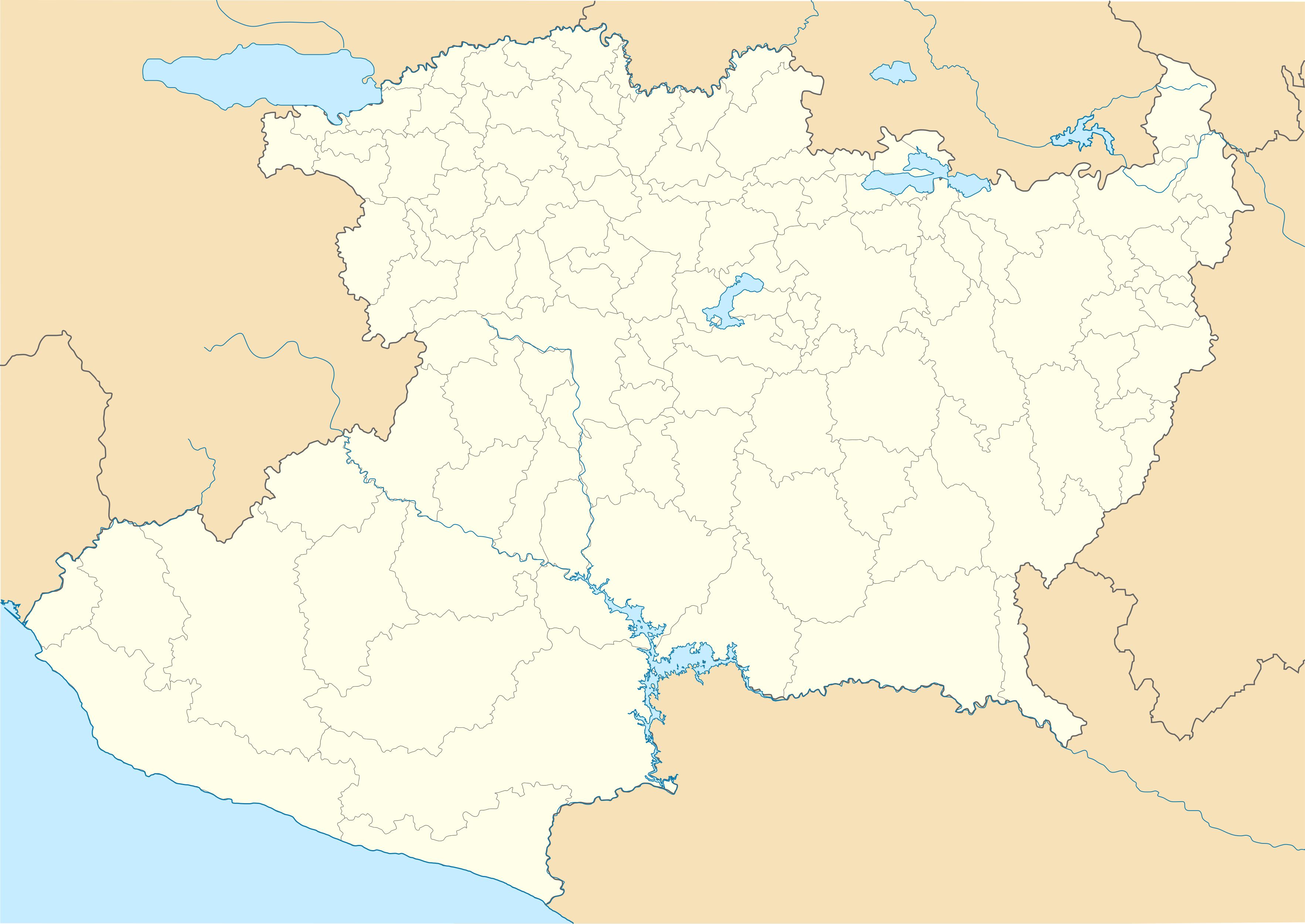
Size of this PNG preview of this SVG file: 800 × 566 pixels. Other resolutions: 320 × 227 pixels | 640 × 453 pixels | 1,024 × 725 pixels | 1,280 × 906 pixels | 2,560 × 1,812 pixels | 3,532 × 2,500 pixels.
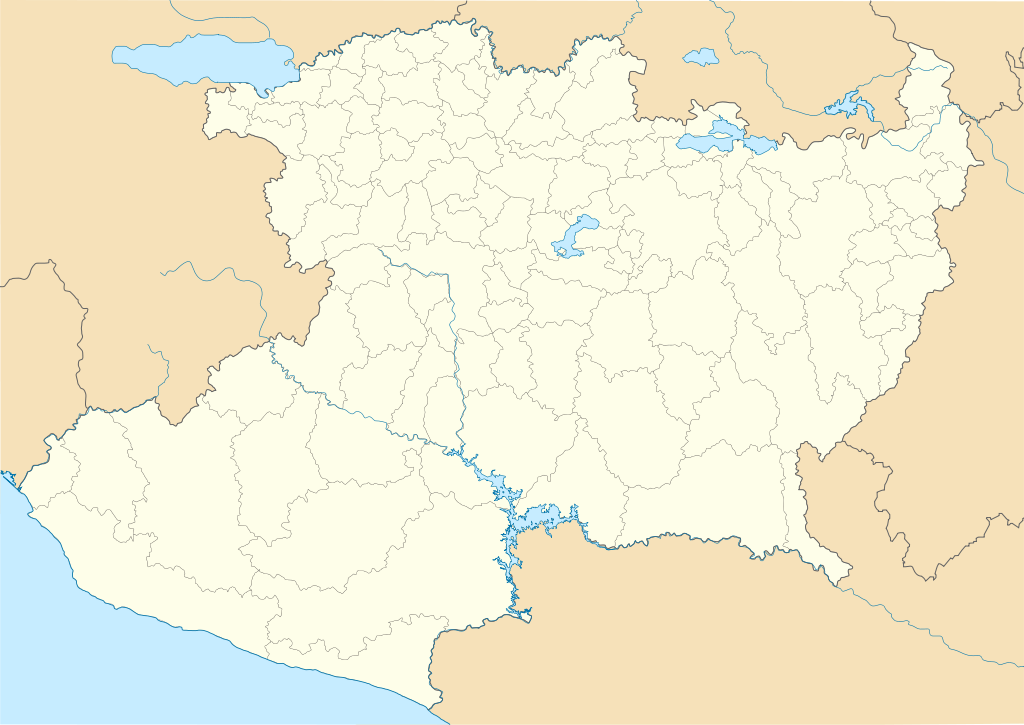
Original file (SVG file, nominally 3,532 × 2,500 pixels, file size: 1.31 MB)
File history
Click on a date/time to view the file as it appeared at that time.
| Date/Time | Thumbnail | Dimensions | User | Comment | |
|---|---|---|---|---|---|
| current | 00:23, 14 November 2011 | | 3,532 × 2,500 (1.31 MB) | commons>Battroid | {{ValidSVG}} {{Information |Description=Location Map of Michoacán Equirectangular projection, Geographic limits of the map: * N: 20.49° N * S: 17.85° N * W: 103.83° W * E: 99.88° W |Source={{own work}} |Date=2011-11-13 |Author=[[Us |
File usage
There are no pages that use this file.