File:Mehman Khana (Taj Mahal, Agra) (8522974734).jpg
Original file (1,502 × 1,001 pixels, file size: 1,016 KB, MIME type: image/jpeg)
_(8522974734).jpg)
Summary
| Description |
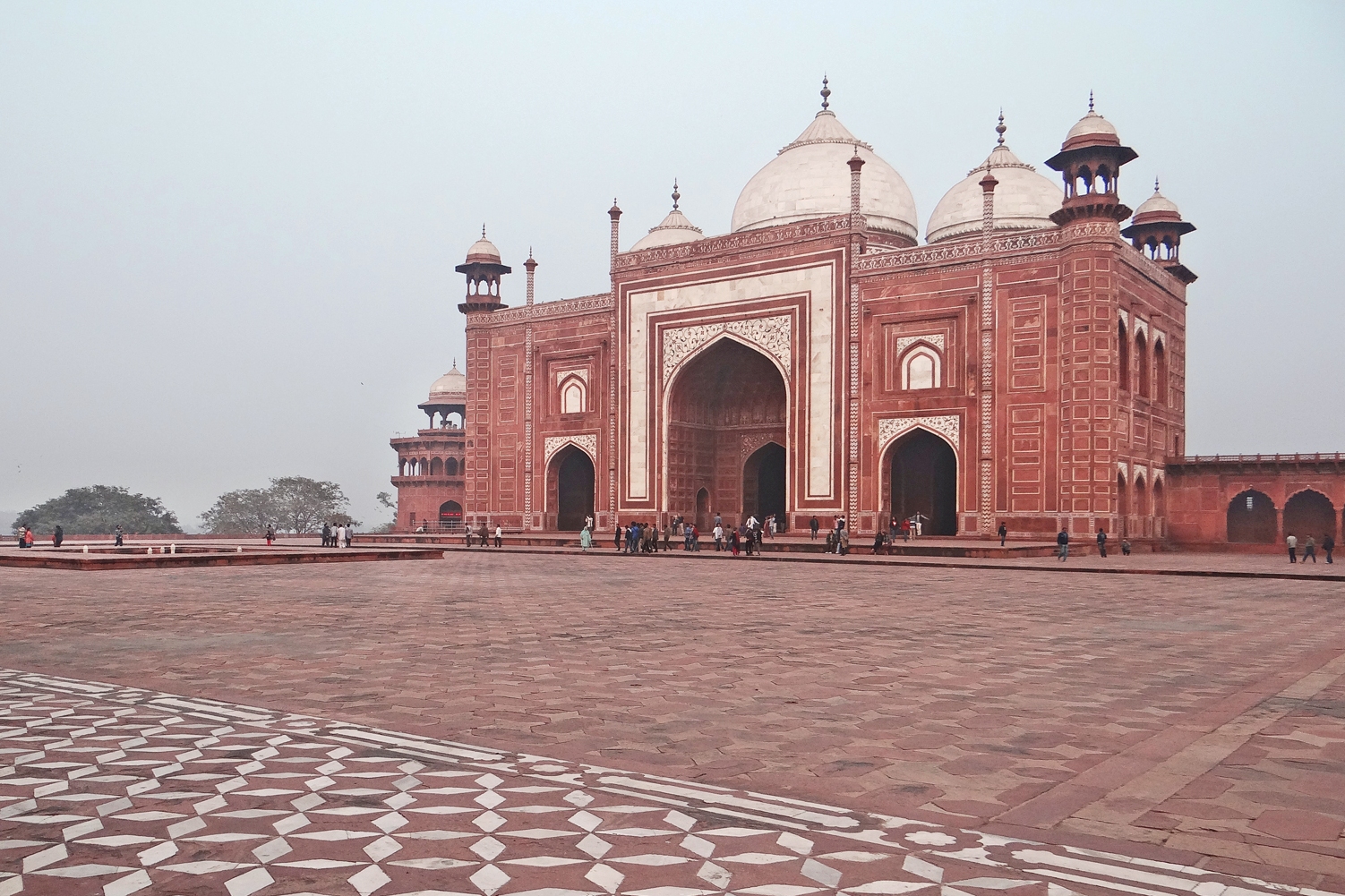
Vue du bâtiment Mehman Khana, symétrique de la mosquée du Taj Mahal au crépuscule A l'ouest et à l'est du mausolée en marbre blanc, se trouvent deux édifices en grès rose, dotés de trois coupoles, qui sont une mosquée et une fausse mosquée, dite réplique ou jawab, appelée hôtellerie dans certains guides. Ces deux bâtiments identiques qui se font face répondent aux règles de construction indo-persane. _____________ Le Taj Mahal est un mausolée en marbre blanc construit entre 1632 et 1648 (ou 1653) à Agra par l'Empereur moghol Shah Jahan pour recevoir le corps de son épouse Mumtaz Mahal, morte en 1631. Le Taj Mahal est classé au patrimoine mondial de l'UNESCO Article de Wikipedia sur le Taj Mahal fr.wikipedia.org/wiki/Taj_Mahal |
| Date | |
| Source | Mehman Khana (Taj Mahal, Agra) |
| Author | Jean-Pierre Dalbéra from Paris, France |
| Camera location | | View this and other nearby images on: OpenStreetMap |
|---|
_(8522974734).jpg¶ms=027.174552_N_0078.042663_E_globe:Earth_type:camera_source:Flickr_&language=en)
Licensing
- You are free:
- to share – to copy, distribute and transmit the work
- to remix – to adapt the work
- Under the following conditions:
- attribution – You must give appropriate credit, provide a link to the license, and indicate if changes were made. You may do so in any reasonable manner, but not in any way that suggests the licensor endorses you or your use.
| This image was originally posted to Flickr by dalbera at https://www.flickr.com/photos/72746018@N00/8522974734. It was reviewed on 9 December 2014 by FlickreviewR and was confirmed to be licensed under the terms of the cc-by-2.0. |
File history
Click on a date/time to view the file as it appeared at that time.
| Date/Time | Thumbnail | Dimensions | User | Comment | |
|---|---|---|---|---|---|
| current | 10:21, 13 December 2014 | | 1,502 × 1,001 (1,016 KB) | commons>Lomita | Suppression cadre |
File usage
There are no pages that use this file.
_(8522974734).jpg)