File:Medford OR - OpenStreetMap.png
Jump to navigation
Jump to search

Size of this preview: 528 × 599 pixels. Other resolutions: 211 × 240 pixels | 423 × 480 pixels | 926 × 1,051 pixels.
Original file (926 × 1,051 pixels, file size: 529 KB, MIME type: image/png)
File history
Click on a date/time to view the file as it appeared at that time.
| Date/Time | Thumbnail | Dimensions | User | Comment | |
|---|---|---|---|---|---|
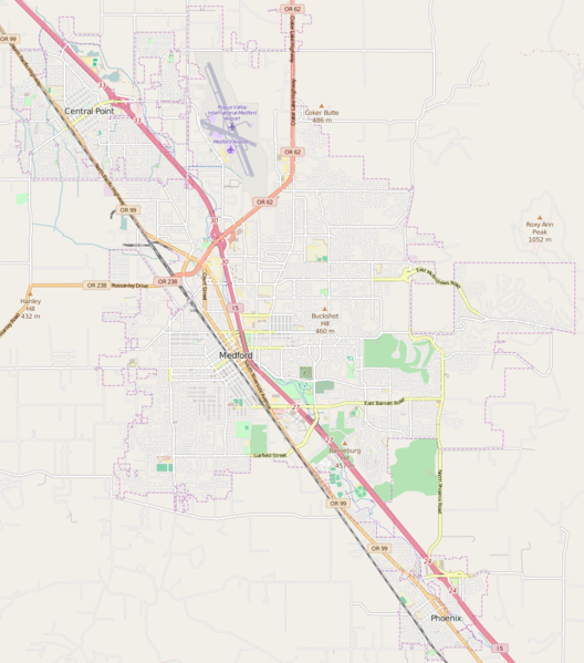
| current | 00:50, 13 April 2016 | | 926 × 1,051 (529 KB) | commons>Tagishsimon | {{OpenStreetMap | name = Medford_Oregon | location = Medford_Oregon | description = Map of Medford, Oregon. | top = 42.3999 | bottom = 42.2631 | left = -122.9377 | right = -122.7746 | date... |
File usage
There are no pages that use this file.