File:McKinley and Sixth in Gary.jpg
Jump to navigation
Jump to search
Size of this preview: 800 × 450 pixels. Other resolutions: 320 × 180 pixels | 640 × 360 pixels | 1,024 × 576 pixels | 1,280 × 720 pixels | 2,816 × 1,584 pixels.
Original file (2,816 × 1,584 pixels, file size: 1.45 MB, MIME type: image/jpeg)
|
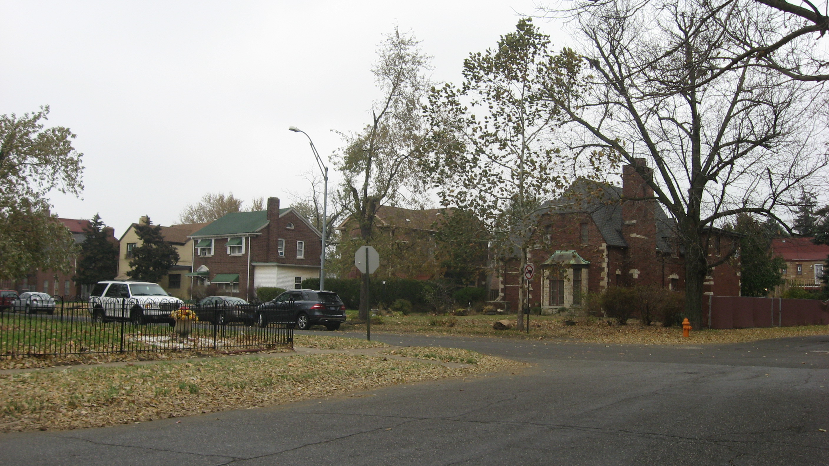
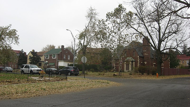
This is an image of a place or building that is listed on the National Register of Historic Places in the United States of America. Its reference number is 13000722. |
| Camera location | | View this and other nearby images on: OpenStreetMap |
|---|
| Description |
English: Houses on the eastern side of McKinley Street north of the Sixth Avenue intersection in Gary, Indiana, United States. This neighborhood is part of the Horace Mann Historic District, a historic district that is listed on the National Register of Historic Places. |
||
| Date | Taken on 16 November 2013 | ||
| Source | Own work | ||
| Author | Nyttend | ||
| Permission (Reusing this file) |
|
File history
Click on a date/time to view the file as it appeared at that time.
| Date/Time | Thumbnail | Dimensions | User | Comment | |
|---|---|---|---|---|---|
| current | 01:37, 27 November 2013 | | 2,816 × 1,584 (1.45 MB) | commons>Nyttend | {{NRHP|13000722}} {{Location|41|36|0|N|87|21|46|W}} {{Information |Description={{en|Houses on the eastern side of McKinley Street north of the Sixth Avenue intersection in {{w|Gary, Indiana|Gary}}, {{w|Indiana}}, {{w|United States}}. This neighborhood... |
File usage
There are no pages that use this file.