File:Mauna Loa map.gif
Jump to navigation
Jump to search

Size of this preview: 560 × 600 pixels. Other resolutions: 224 × 240 pixels | 448 × 480 pixels | 717 × 768 pixels | 1,124 × 1,204 pixels.
Original file (1,124 × 1,204 pixels, file size: 26 KB, MIME type: image/gif, 0.1 s)
File history
Click on a date/time to view the file as it appeared at that time.
| Date/Time | Thumbnail | Dimensions | User | Comment | |
|---|---|---|---|---|---|
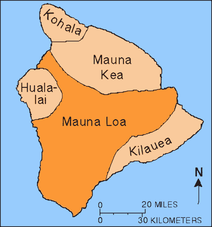
| current | 15:14, 21 September 2023 | | 1,124 × 1,204 (26 KB) | commons>Hike395 | == {{int:filedesc}} == {{Information |Description={{en|Map showing relationship of Mauna Loa to other volcanoes that form the Big Island of Hawaii}} |Source={{Derived from|Mapmaunaloa.png|display=50}} |Date=2023-09-21 15:13 (UTC) |Author=* File:Mapmaunaloa.png: Hawaii Volcano Observatory, USGS * AI upscaling: [[User:{{subst:REVISIONUSER}}|{{subst:REVISIONUSER}}]] |Permission= |other_versions= }} == {{int:license-header}} == {{PD-USGo... |
File usage
There are no pages that use this file.