File:MarethMap1943.png
Jump to navigation
Jump to search

Size of this preview: 800 × 572 pixels. Other resolutions: 320 × 229 pixels | 640 × 457 pixels | 1,024 × 732 pixels | 1,170 × 836 pixels.
Original file (1,170 × 836 pixels, file size: 236 KB, MIME type: image/png)
File history
Click on a date/time to view the file as it appeared at that time.
| Date/Time | Thumbnail | Dimensions | User | Comment | |
|---|---|---|---|---|---|
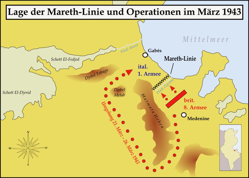
| current | 12:02, 27 March 2008 | | 1,170 × 836 (236 KB) | commons>Memnon335bc | {{Information |Description=Map showing the situation of the Mareth line and the Brith attacks on it during March 1943 |Source=self-made |Date=March 2008 |Author= Memnon335bc |Permission=granted |other_versions= }} |
File usage
There are no pages that use this file.