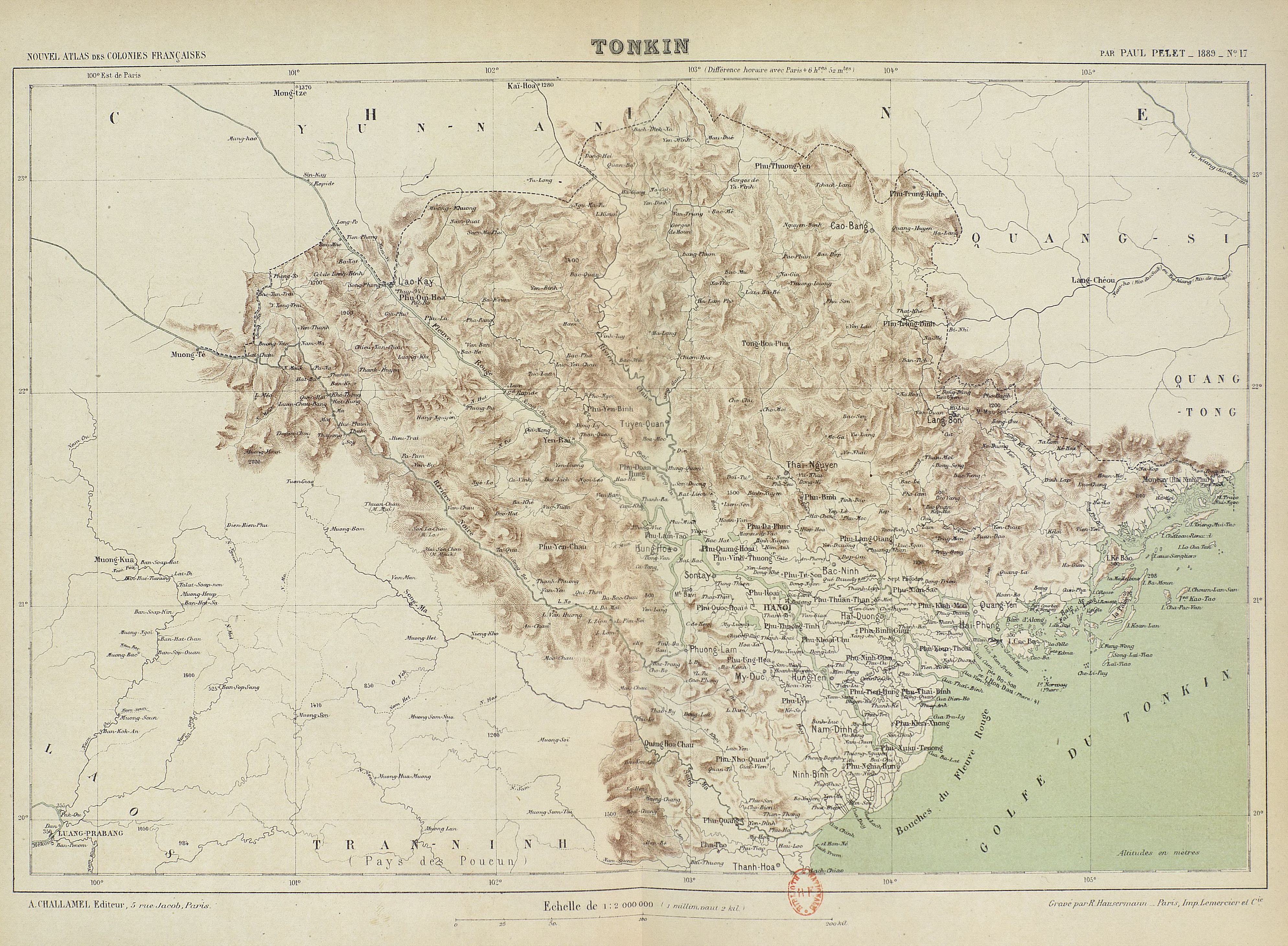
File:Maps of Tonkin 1891.jpg
Jump to navigation
Jump to search
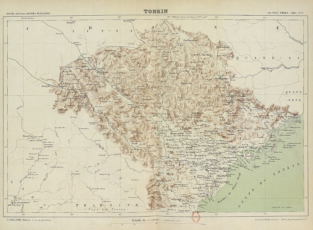
Size of this preview: 800 × 588 pixels. Other resolutions: 320 × 235 pixels | 640 × 470 pixels | 1,024 × 753 pixels | 1,280 × 941 pixels | 2,560 × 1,881 pixels | 3,976 × 2,922 pixels.
Original file (3,976 × 2,922 pixels, file size: 2.34 MB, MIME type: image/jpeg)
File history
Click on a date/time to view the file as it appeared at that time.
| Date/Time | Thumbnail | Dimensions | User | Comment | |
|---|---|---|---|---|---|
| current | 11:27, 21 August 2021 | | 3,976 × 2,922 (2.34 MB) | commons>Ltn12345 | Uploaded a work by Pelet, Paul (1849-1927) from https://gallica.bnf.fr/ark:/12148/bpt6k5790223v with UploadWizard |
File usage
There are no pages that use this file.