File:Mapa polityczna Italii 1749.png
Jump to navigation
Jump to search
Size of this preview: 419 × 600 pixels. Other resolutions: 167 × 240 pixels | 335 × 480 pixels | 1,007 × 1,442 pixels.
Original file (1,007 × 1,442 pixels, file size: 266 KB, MIME type: image/png)
File history
Click on a date/time to view the file as it appeared at that time.
| Date/Time | Thumbnail | Dimensions | User | Comment | |
|---|---|---|---|---|---|
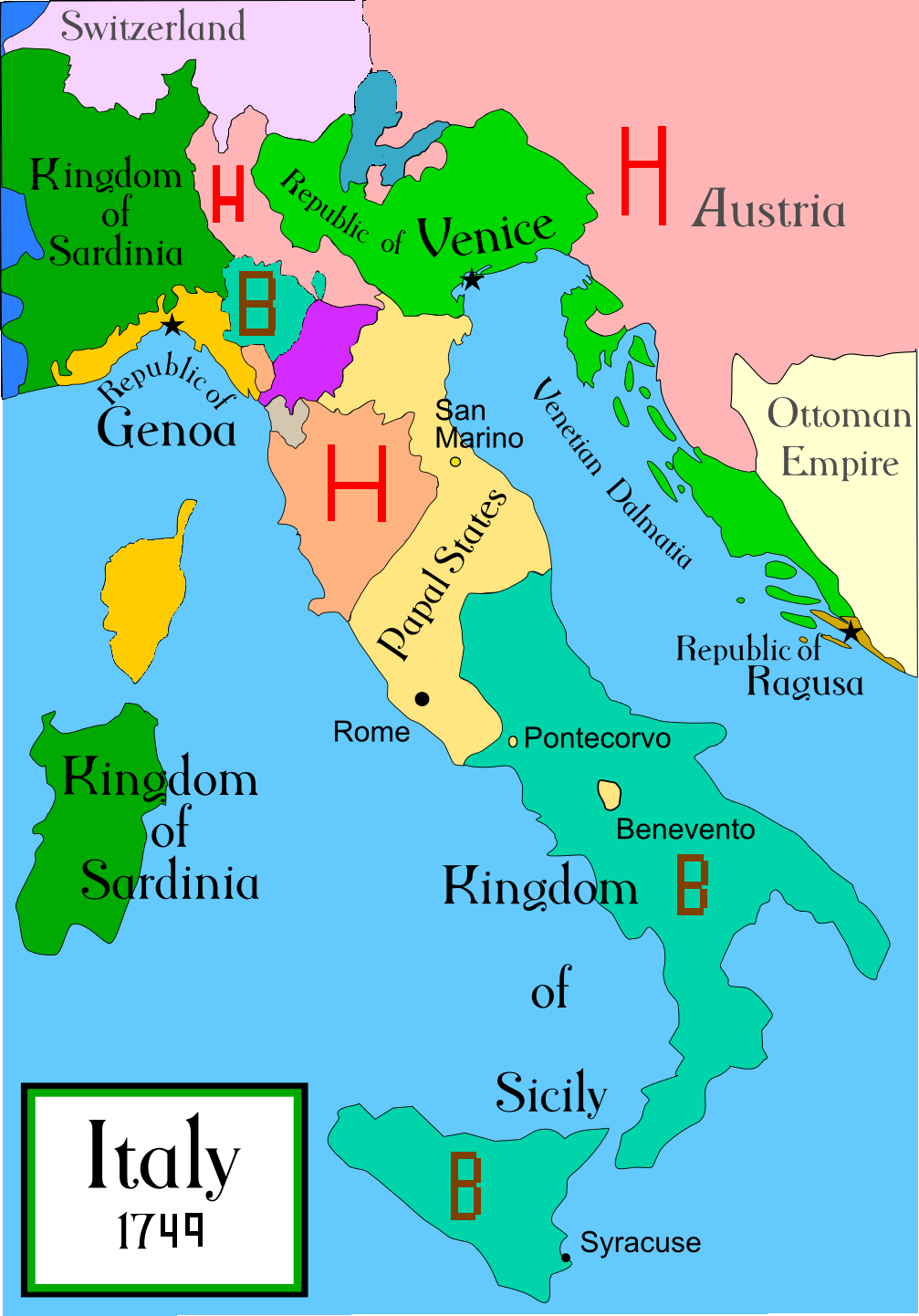
| current | 11:19, 25 March 2008 | | 1,007 × 1,442 (266 KB) | commons>TomasoAlbinoni | {{Information |Description=political map of Italy (A.D. 1749) |Source=własna praca |Date=2008 |Author= TomasoAlbinoni |Permission= |other_versions= }} |
File usage
There are no pages that use this file.