File:Mapa katastralna wsi Wola Piotrowa 1852.JPG
Jump to navigation
Jump to search
Size of this preview: 729 × 600 pixels. Other resolutions: 292 × 240 pixels | 584 × 480 pixels | 934 × 768 pixels | 1,245 × 1,024 pixels | 2,490 × 2,048 pixels | 2,900 × 2,385 pixels.
Original file (2,900 × 2,385 pixels, file size: 1.38 MB, MIME type: image/jpeg)
File history
Click on a date/time to view the file as it appeared at that time.
| Date/Time | Thumbnail | Dimensions | User | Comment | |
|---|---|---|---|---|---|
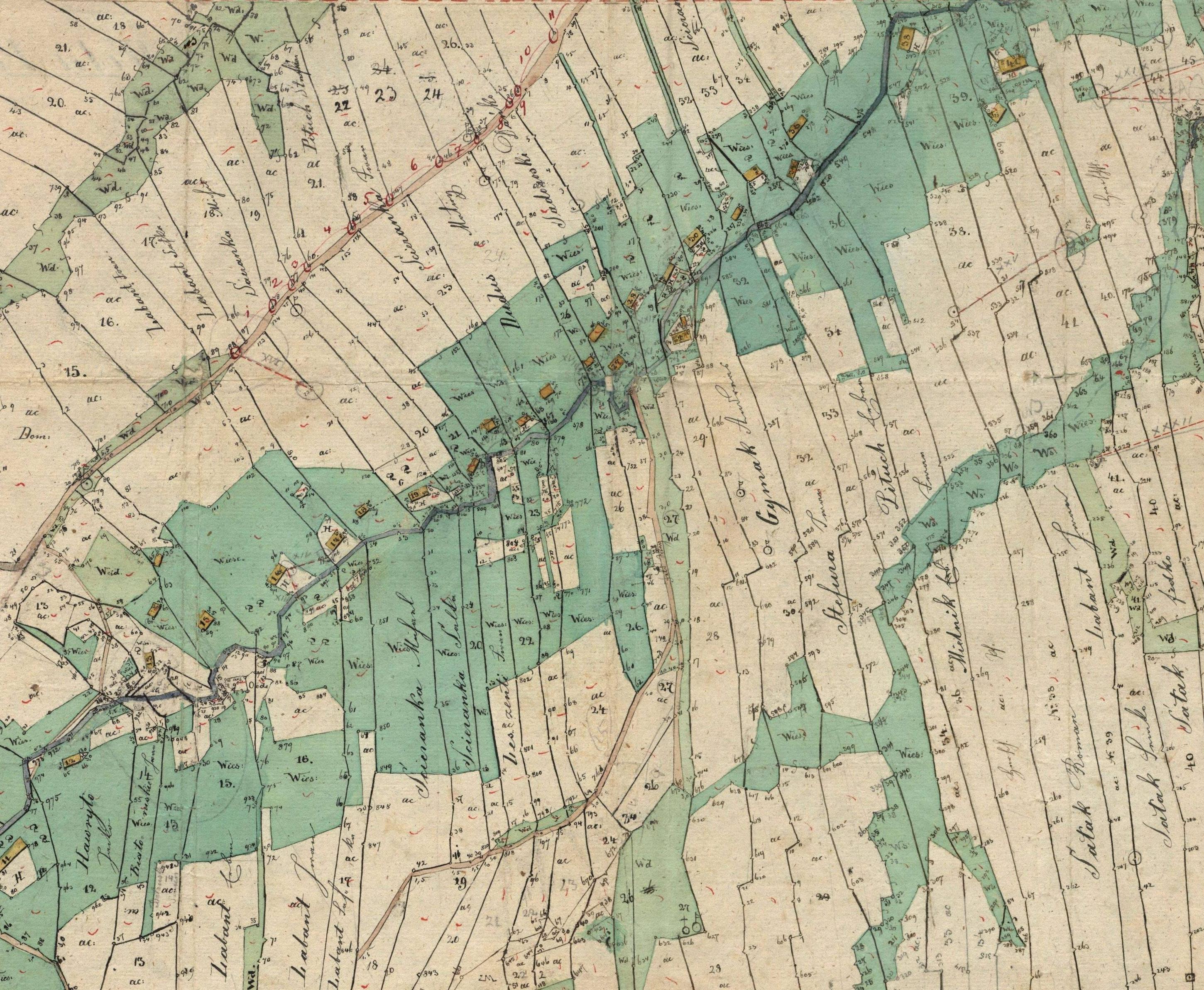
| current | 20:56, 21 September 2008 | | 2,900 × 2,385 (1.38 MB) | commons>Herstass | {{Information |Description={{en|1=Cadastral map of Wola Piotrowa.}} |Source=Archiwum Przemyskie |Author=Archiwum Przemyskie |Date=1852 |Permission= |other_versions= }} {{GFDL}} <!--{{ImageUpload|full}}--> Category:Pogórze Bukowskie [[Category:Gmina B |
File usage
There are no pages that use this file.