File:Mapa do percurso da SP-171.png
Jump to navigation
Jump to search

Size of this preview: 669 × 600 pixels. Other resolutions: 268 × 240 pixels | 536 × 480 pixels | 684 × 613 pixels.
Original file (684 × 613 pixels, file size: 77 KB, MIME type: image/png)
File history
Click on a date/time to view the file as it appeared at that time.
| Date/Time | Thumbnail | Dimensions | User | Comment | |
|---|---|---|---|---|---|
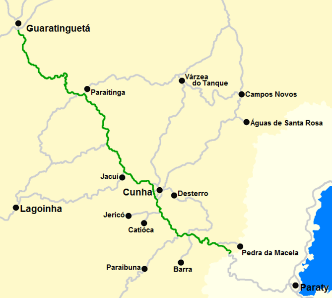
| current | 20:16, 17 February 2012 | | 684 × 613 (77 KB) | commons>Sônico | {{Information |Description ={{pt|1=Mapa básico ilustrando o percurso da VIA SP-171.}} |Source =Trabalho próprio |Author =Diego Campos |Date =17/02/2012 |Permission = |other_versions = }} Category:SP-171 |
File usage
There are no pages that use this file.