File:Mapa del Alto Palancia.svg
Jump to navigation
Jump to search

Size of this PNG preview of this SVG file: 400 × 400 pixels. Other resolutions: 240 × 240 pixels | 480 × 480 pixels | 768 × 768 pixels | 1,024 × 1,024 pixels | 2,048 × 2,048 pixels.
Original file (SVG file, nominally 400 × 400 pixels, file size: 786 KB)
File history
Click on a date/time to view the file as it appeared at that time.
| Date/Time | Thumbnail | Dimensions | User | Comment | |
|---|---|---|---|---|---|
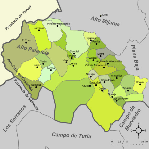
| current | 12:14, 29 March 2008 | | 400 × 400 (786 KB) | commons>Rodriguillo | {{Information |Description= Mapa de la comarca del '''Alto Palancia''' (provincia de Castellón, España) |Source=Image:Mapa de l'Alt Palància.png, Image:Castellon - Mapa municipal.svg |Date=Original: december 2004. Vectorization: february 2008 |
File usage
There are no pages that use this file.