File:Map showing Ōzushima (Yamaguchi Prefectural Archives).jpg
Jump to navigation
Jump to search

Size of this preview: 317 × 598 pixels. Other resolutions: 127 × 240 pixels | 254 × 480 pixels | 407 × 768 pixels | 542 × 1,024 pixels | 1,085 × 2,048 pixels | 6,174 × 11,651 pixels.
Original file (6,174 × 11,651 pixels, file size: 5.87 MB, MIME type: image/jpeg)
.jpg)
File history
Click on a date/time to view the file as it appeared at that time.
| Date/Time | Thumbnail | Dimensions | User | Comment | |
|---|---|---|---|---|---|
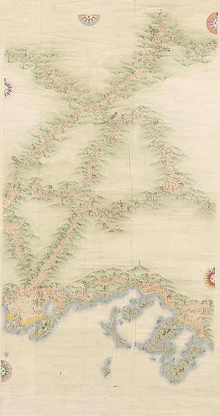
| current | 16:19, 23 August 2020 | | 6,174 × 11,651 (5.87 MB) | commons>Maculosae tegmine lyncis | {{Information |description ={{en|1=Map from before the abolition of the han system, Yamaguchi Prefectural Archives, Yamaguchi, Yamaguchi, Japan}} {{ja|1=御両国測量絵図 山口県文書館>藩政文書>毛利家文庫>58絵図>4日本地域図>58絵図241-4}} |date =Pre-abolition of the han (1871) |source =http://archives.pref.yamaguchi.lg.jp/index/page/id/360 |author =Edo-period cartographer |permission ={{PD-art|PD-old-100}} }} Category:Maps of Yamaguchi prefecture Category:Ozu Island [[Category:Yamaguchi Pref... |
File usage
There are no pages that use this file.
.jpg)