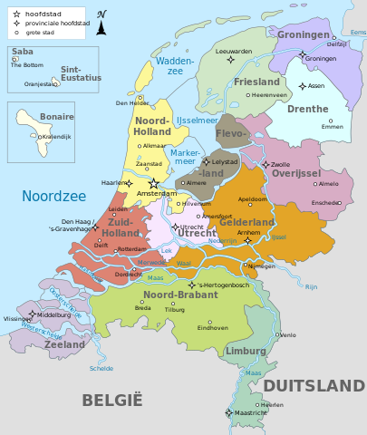
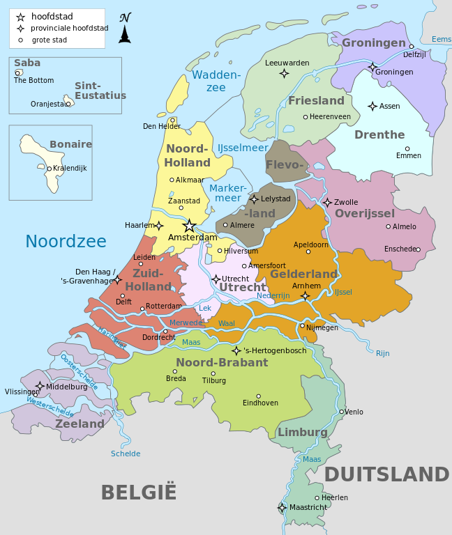
File:Map provinces Netherlands-nl.svg
Jump to navigation
Jump to search

Size of this PNG preview of this SVG file: 506 × 600 pixels. Other resolutions: 202 × 240 pixels | 405 × 480 pixels | 648 × 768 pixels | 864 × 1,024 pixels | 1,727 × 2,048 pixels | 743 × 881 pixels.
Original file (SVG file, nominally 743 × 881 pixels, file size: 856 KB)
File history
Click on a date/time to view the file as it appeared at that time.
| Date/Time | Thumbnail | Dimensions | User | Comment | |
|---|---|---|---|---|---|
| current | 22:43, 18 April 2023 | | 743 × 881 (856 KB) | commons>Von Freudstein-Reinach | File uploaded using svgtranslate tool (https://svgtranslate.toolforge.org/). Added translation for oc. |
File usage
There are no pages that use this file.