File:Map of the provinces of South Africa 1976-1994 with the Cape highlighted.svg
Jump to navigation
Jump to search

Size of this PNG preview of this SVG file: 684 × 599 pixels. Other resolutions: 274 × 240 pixels | 548 × 480 pixels | 876 × 768 pixels | 1,168 × 1,024 pixels | 2,337 × 2,048 pixels | 809 × 709 pixels.
Original file (SVG file, nominally 809 × 709 pixels, file size: 517 KB)
File history
Click on a date/time to view the file as it appeared at that time.
| Date/Time | Thumbnail | Dimensions | User | Comment | |
|---|---|---|---|---|---|
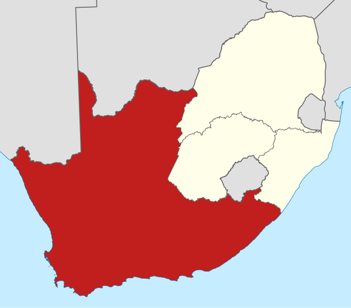
| current | 22:20, 7 March 2011 | | 809 × 709 (517 KB) | commons>Htonl | == Summary == {{Information |Description ={{en|1=Map of South Africa showing the provinces as they were from 1976 to 1994, with the Cape of Good Hope Province highlighted. Based on File:Map of South Africa with provincial borders 1976-1994.svg.}} |
File usage
There are no pages that use this file.