File:Map of the U.S., highlighting the West.svg
Jump to navigation
Jump to search

Size of this PNG preview of this SVG file: 800 × 495 pixels. Other resolutions: 320 × 198 pixels | 640 × 396 pixels | 1,024 × 633 pixels | 1,280 × 791 pixels | 2,560 × 1,583 pixels | 959 × 593 pixels.
Original file (SVG file, nominally 959 × 593 pixels, file size: 26 KB)
File history
Click on a date/time to view the file as it appeared at that time.
| Date/Time | Thumbnail | Dimensions | User | Comment | |
|---|---|---|---|---|---|
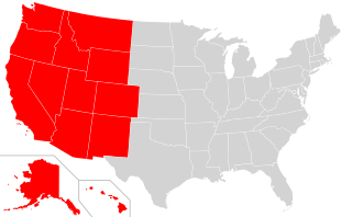
| current | 18:28, 15 November 2018 | | 959 × 593 (26 KB) | commons>Crazytonyi | {{Information |description ={{en|1=A map of the United States that highlights the Western states. Note, this is derived from existing US map SVG as found at: https://commons.wikimedia.org/wiki/File:Blank_US_Map_(states_only).svg and highlighting states based on low-res PNG found at: https://commons.wikimedia.org/wiki/File:Map_of_USA_highlighting_West.png}} |date = |source =WikiMedia |author =Self }} |
File usage
There are no pages that use this file.