File:Map of the Planned Indian Reserve of Obijuan (Obedjiwan).jpg
Jump to navigation
Jump to search
Size of this preview: 612 × 600 pixels. Other resolutions: 245 × 240 pixels | 490 × 480 pixels | 951 × 932 pixels.
Original file (951 × 932 pixels, file size: 102 KB, MIME type: image/jpeg)
.jpg)
File history
Click on a date/time to view the file as it appeared at that time.
| Date/Time | Thumbnail | Dimensions | User | Comment | |
|---|---|---|---|---|---|
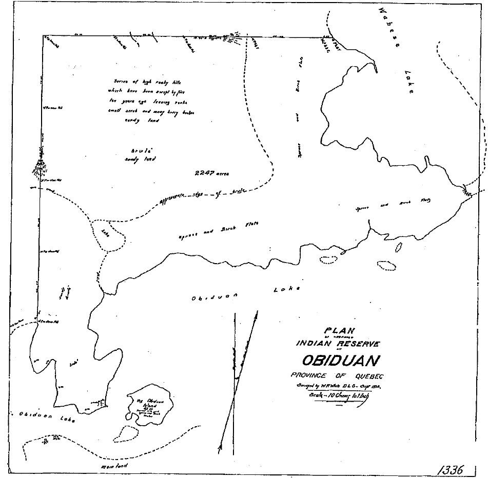
| current | 02:16, 8 December 2018 | | 951 × 932 (102 KB) | commons>Mottezen | {{subst:Upload marker added by en.wp UW}} {{Information |Description = {{en|A map of the Planned Indian Reserve of Obijuan (now Obedjiwan), Quebec, Canada, made by surveyor W. R. White}} |Source = '''Original publication''': Survey by W.R. White, Survey of the Obijuan Reserve, 1914<br/> '''Immediate source''': Canadian National Archives, RG 10, vol. 7764, File 27074-3, Pt. 1 |Date = 1914 |Author = W. R. White<br/> (Life time: not applicable) }} {{PD-US-1923}} Category:Maps |
File usage
There are no pages that use this file.
.jpg)