File:Map of the Northern Cape with municipalities named and districts shaded (2016).svg
Jump to navigation
Jump to search

Size of this PNG preview of this SVG file: 589 × 600 pixels. Other resolutions: 236 × 240 pixels | 471 × 480 pixels | 754 × 768 pixels | 1,005 × 1,024 pixels | 2,010 × 2,048 pixels | 750 × 764 pixels.
Original file (SVG file, nominally 750 × 764 pixels, file size: 818 KB)
.svg)
File history
Click on a date/time to view the file as it appeared at that time.
| Date/Time | Thumbnail | Dimensions | User | Comment | |
|---|---|---|---|---|---|
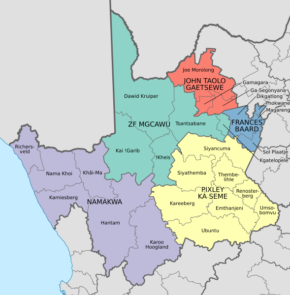
| current | 18:23, 4 February 2017 | | 750 × 764 (818 KB) | commons>Htonl | == {{int:filedesc}} == {{Information |Description ={{en|1=Map of the municipalities in the Northern Cape province of South Africa, with all municipalities named and district municipalities shaded different colours.}} |Source ={{own}}; based... |
File usage
There are no pages that use this file.
.svg)