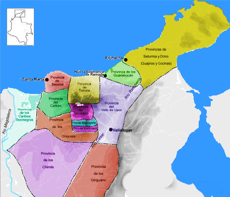
File:Map of the Government of Magdalena (1500).png
Jump to navigation
Jump to search
No higher resolution available.
Map_of_the_Government_of_Magdalena_(1500).png (455 × 390 pixels, file size: 300 KB, MIME type: image/png)
.png)
File history
Click on a date/time to view the file as it appeared at that time.
| Date/Time | Thumbnail | Dimensions | User | Comment | |
|---|---|---|---|---|---|
| current | 04:39, 23 April 2008 | | 455 × 390 (300 KB) | commons>F3rn4nd0 | {{Information |Description=Provincias Gobernacion de Santa Marta. 1500 |Source=self-made |Date=April 23, 2008 |Author= F3rn4nd0 |Permission=see below |other_versions= }} Category:Maps of Colombia |
File usage
There are no pages that use this file.
.png)