File:Map of province of Crotone (region Calabria, Italy).svg
Jump to navigation
Jump to search

Size of this PNG preview of this SVG file: 288 × 522 pixels. Other resolutions: 132 × 240 pixels | 265 × 480 pixels | 423 × 768 pixels | 565 × 1,024 pixels | 1,130 × 2,048 pixels.
Original file (SVG file, nominally 288 × 522 pixels, file size: 91 KB)
.svg)
File history
Click on a date/time to view the file as it appeared at that time.
| Date/Time | Thumbnail | Dimensions | User | Comment | |
|---|---|---|---|---|---|
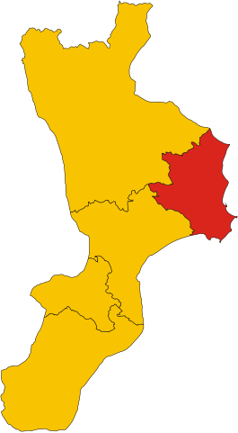
| current | 20:40, 8 June 2010 | | 288 × 522 (91 KB) | commons>Vonvikken | == {{int:filedesc}} == {{Information |Description={{de|Karte von Provinz Crotone (Region Kalabrien, Italien)}} {{en|1=Map of the province of Crotone (region Calabria, Italy)}} {{it|1=Mappa della provincia di Crotone (regione Calabria, Italia)}} |Source={{ |
File usage
There are no pages that use this file.
.svg)