File:Map of countries by percentage of immigrants.png
Jump to navigation
Jump to search
No higher resolution available.
Map_of_countries_by_percentage_of_immigrants.png (800 × 406 pixels, file size: 86 KB, MIME type: image/png)
File history
Click on a date/time to view the file as it appeared at that time.
| Date/Time | Thumbnail | Dimensions | User | Comment | |
|---|---|---|---|---|---|
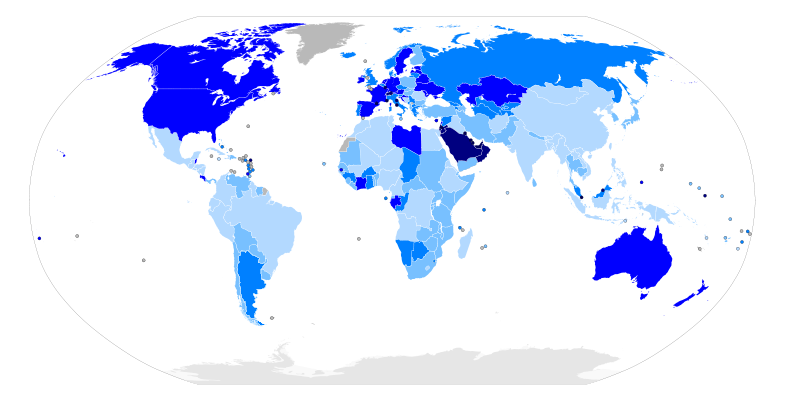
| current | 04:43, 20 April 2011 | | 800 × 406 (86 KB) | commons>Daimakú | {{Information |Description=Map of the world with countries coloured according to their immigrant population as a percentage of the whole population, based on the UN's World Population Policies 2005 data ([http://www.un.org/esa/populat |
File usage
There are no pages that use this file.