File:Map of Woodbridge, Ontario, 1878.jpg
Jump to navigation
Jump to search
Size of this preview: 696 × 599 pixels. Other resolutions: 279 × 240 pixels | 557 × 480 pixels | 720 × 620 pixels.
Original file (720 × 620 pixels, file size: 255 KB, MIME type: image/jpeg)
File history
Click on a date/time to view the file as it appeared at that time.
| Date/Time | Thumbnail | Dimensions | User | Comment | |
|---|---|---|---|---|---|
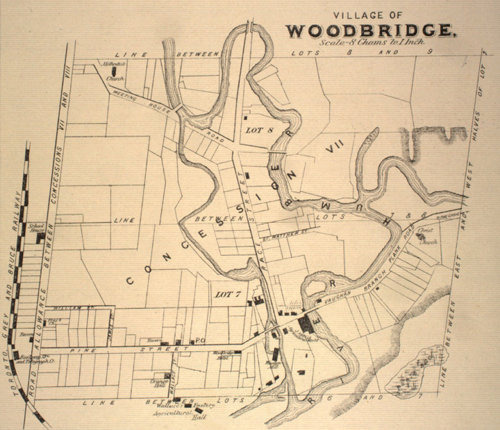
| current | 20:03, 23 November 2007 | | 720 × 620 (255 KB) | commons>Mindmatrix | {{Information |Description = Map of Woodbridge, in York County, Ontario |Source = Illustrated Historical Atlas of County York (from [http://digital.library.mcgill.ca/countyatlas/showtown2.php?TownID=Woodbridge McGill Digital Library County Atla |
File usage
There are no pages that use this file.