File:Map of Wisconsin highlighting Milwaukee Racine Kenosha Counties.png
Jump to navigation
Jump to search
Size of this preview: 559 × 599 pixels. Other resolutions: 224 × 240 pixels | 448 × 480 pixels | 717 × 768 pixels | 956 × 1,024 pixels | 2,374 × 2,544 pixels.
Original file (2,374 × 2,544 pixels, file size: 339 KB, MIME type: image/png)
Summary
| Description |
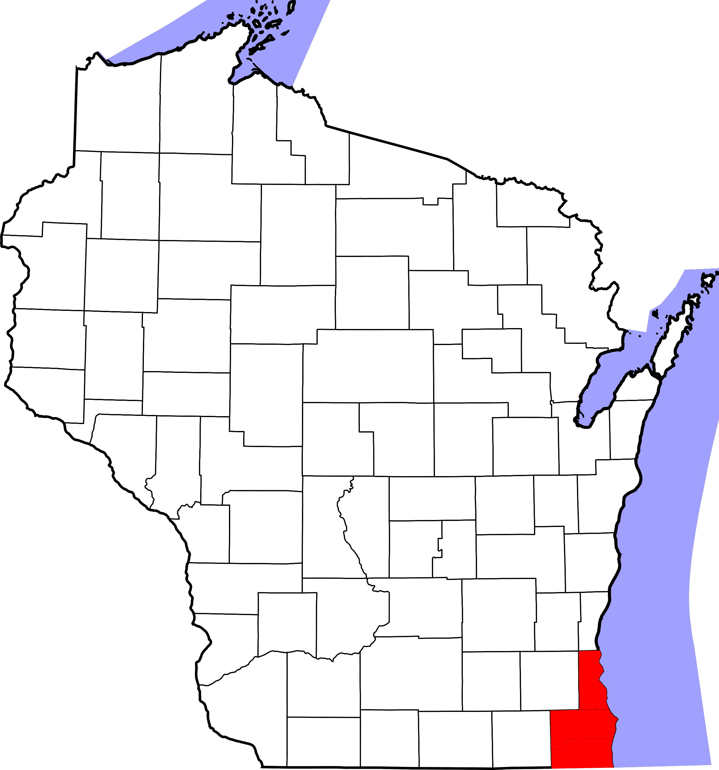
English: This is a locator map showing the counties of Milwaukee, Racine, and Kenosha in Wisconsin.
Created using David Benbennick's maps. For more information, see Commons:United States county locator maps. On February 12, 2006, User:David Benbennick uploaded locator maps for all United States counties. The maps are in subcategories of Category:Locator maps of counties of the United States by state, and are also categorized by county name. |
| Date | |
| Source | Own work |
| Author | Johnson487682 |
Licensing
| I, the copyright holder of this work, release this work into the public domain. This applies worldwide. In some countries this may not be legally possible; if so: I grant anyone the right to use this work for any purpose, without any conditions, unless such conditions are required by law. |
File history
Click on a date/time to view the file as it appeared at that time.
| Date/Time | Thumbnail | Dimensions | User | Comment | |
|---|---|---|---|---|---|
| current | 15:03, 12 March 2012 | | 2,374 × 2,544 (339 KB) | commons>Johnson487682 | Reduce resolution to allow thumbnails to be generated |
File usage
There are no pages that use this file.