File:Map of Wards of New Orleans with Number Labels.png
Jump to navigation
Jump to search
Size of this preview: 784 × 599 pixels. Other resolutions: 314 × 240 pixels | 628 × 480 pixels | 960 × 734 pixels.
Original file (960 × 734 pixels, file size: 138 KB, MIME type: image/png)
File history
Click on a date/time to view the file as it appeared at that time.
| Date/Time | Thumbnail | Dimensions | User | Comment | |
|---|---|---|---|---|---|
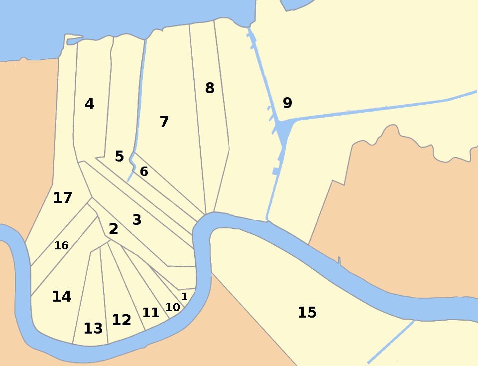
| current | 22:15, 31 August 2016 | | 960 × 734 (138 KB) | commons>WClarke | Added the Intercostal Waterway and Industrial Canal that originally were erroneously excluded from this map. |
File usage
There are no pages that use this file.