File:Map of VDOT District 4.svg
Jump to navigation
Jump to search

Size of this PNG preview of this SVG file: 800 × 347 pixels. Other resolutions: 320 × 139 pixels | 640 × 278 pixels | 1,024 × 444 pixels | 1,280 × 555 pixels | 2,560 × 1,110 pixels | 7,486 × 3,247 pixels.
Original file (SVG file, nominally 7,486 × 3,247 pixels, file size: 163 KB)
Summary
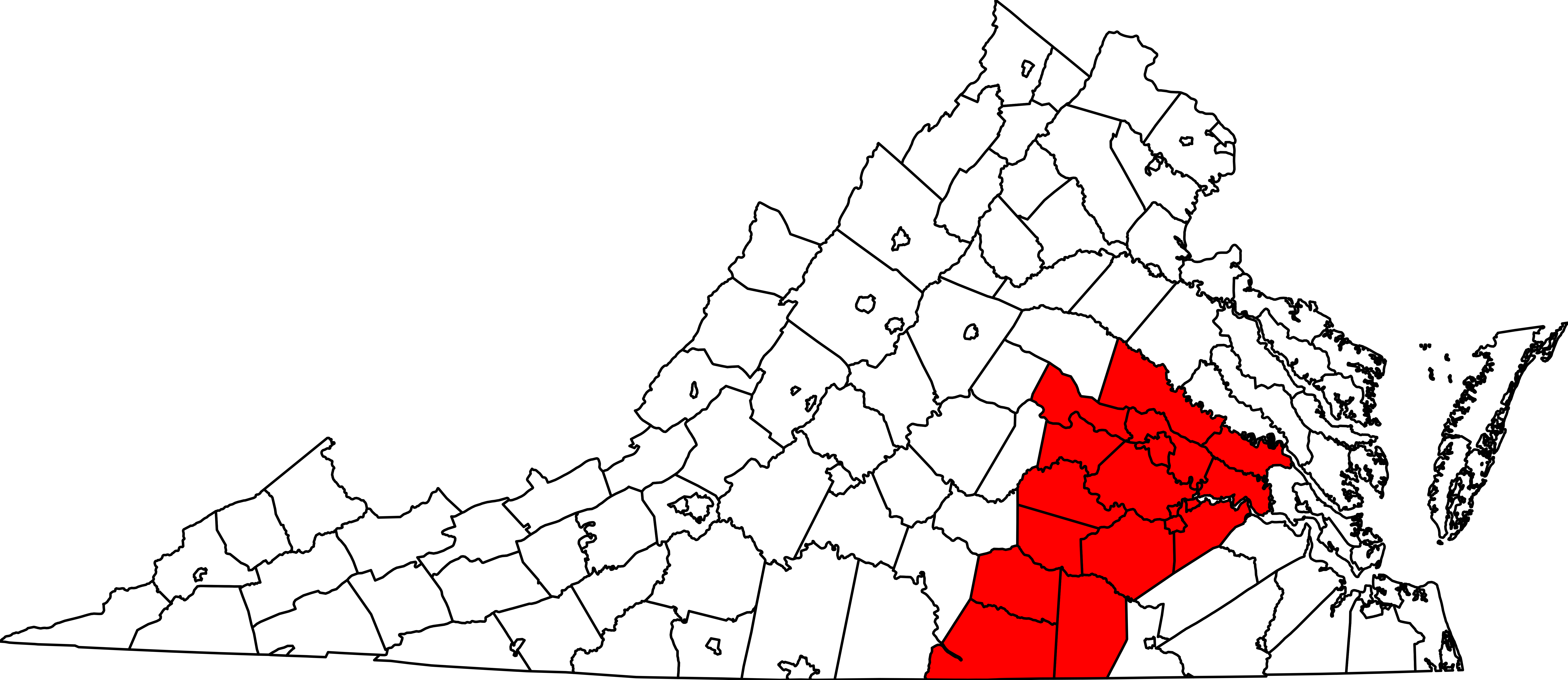
| Description | Map of Virginia counties and independent cities with Virginia Department of Transportation District 4 (Richmond) highlighted |
| Date | |
| Source | File:Map of Virginia highlighting Floyd County.svg (public domain) |
| Author | Mr. Matté (if there is an issue with this image, contact me using this image's Commons talk page, my Commons user talk page, or my English Wikipedia user talk page; I'll know about it a lot faster) |
Licensing
| I, the copyright holder of this work, release this work into the public domain. This applies worldwide. In some countries this may not be legally possible; if so: I grant anyone the right to use this work for any purpose, without any conditions, unless such conditions are required by law. |
File history
Click on a date/time to view the file as it appeared at that time.
| Date/Time | Thumbnail | Dimensions | User | Comment | |
|---|---|---|---|---|---|
| current | 16:35, 22 October 2019 | | 7,486 × 3,247 (163 KB) | commons>Mr. Matté |
File usage
There are no pages that use this file.